Trail Distance: 7.5 miles
Elevation Gain: 2450′
Terrain Rating: Moderate
Hike In: 9:56AM
Hike Out: 2:02PM

Trailhead: At Dartmouth’s Moosilauke Ravine Lodge, on Google Maps here.
Route: Full loop up Gorge Brook Trail, and down Carriage Road and Snapper Trail
There are a few options for getting up Moosilauke. On a beautiful Sunday of Labor Day weekend, we opted for a loop – summiting via Gorge Brook Trail, and descending via Carriage Road and Snapper Trail. When you arrive at the Lodge, you will see a line of cars parked on the left side of the road. Drive up to the turnaround and park behind then. Make sure there is enough room for buses to pass. There are clear signs saying “All Trails” that lead you from the lodge to the trailhead. When we were there, there were 3 porta potties available.
The Gorge Brook Trail is moderate the entire way, mostly characterized by rocks and roots. There are some short flat sections that break up the roots and rocks. For the first 1.5 miles or so, you have access to running water. This was great for our pup on an 80+ degree day. There is nice tree coverage as well. You will see a proper sign when you’re at your last chance for water. From there, it’s another 2 miles or so up to the summit.
As you circle around to the summit, you will pass two viewpoints. It looks like the trees were cut specifically for this purpose. Soon you will see a false summit. You’re almost above tree-line! Keep following the cairns until you see the bald face of Moosilauke. At the top, there is ample space to find a spot for lunch and enjoy the 360 degree views. There was a slight breeze and some haze at the time.
To descend, follow the signs for the Carriage Road. It is pretty exposed for the first mile or so until you fall back down into the trees. The Carriage Road intersects with Snapper Trail after 2 miles. The Dartmouth Outing Club does a really good job of keeping the sign posts in shape. The Carriage Road and Snapper Trail are both moderate descents. They’re easy on the knees and exactly why we chose this path over Beaver Brook Trail. Snapper will run into Gorge Brook again when you’re about to reach the lodge.
All in all, Moosilauke is a good option for a short, relaxing day. It’s about a 2 hr 15 min drive from Boston. It’s great for pups and any level of hiker. The book time says 5 hours, but if you exclude our 30 minute summit lunch, we finished the hike in 3.5 hours.

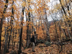
Heading up to the Gorge Brook Trail 
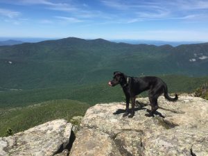
Moderate climbing up Moosilauke! 
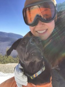
Tucker says hello from the summit of Moosilauke


3 Comments
Great blog!! Spot on trip and trail descriptions too!
If someone wanted to do the A.T. from both north and south, would it be best (on separate days) to go up the Gorge Brook Trail and down the Carriage Road, then up Beaver Brook and down the Carriage Rd, to save their knees and have a gentler descent without missing any of the A.T.? Usually a very steep section is less terrifying going up than down! I’m 63 and in decent shape, but a little timid.
Hi Joyce, Beaver Brook Trail is much better if you’re ascending! Agree with you on steep sections being better going up than down.