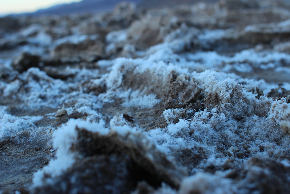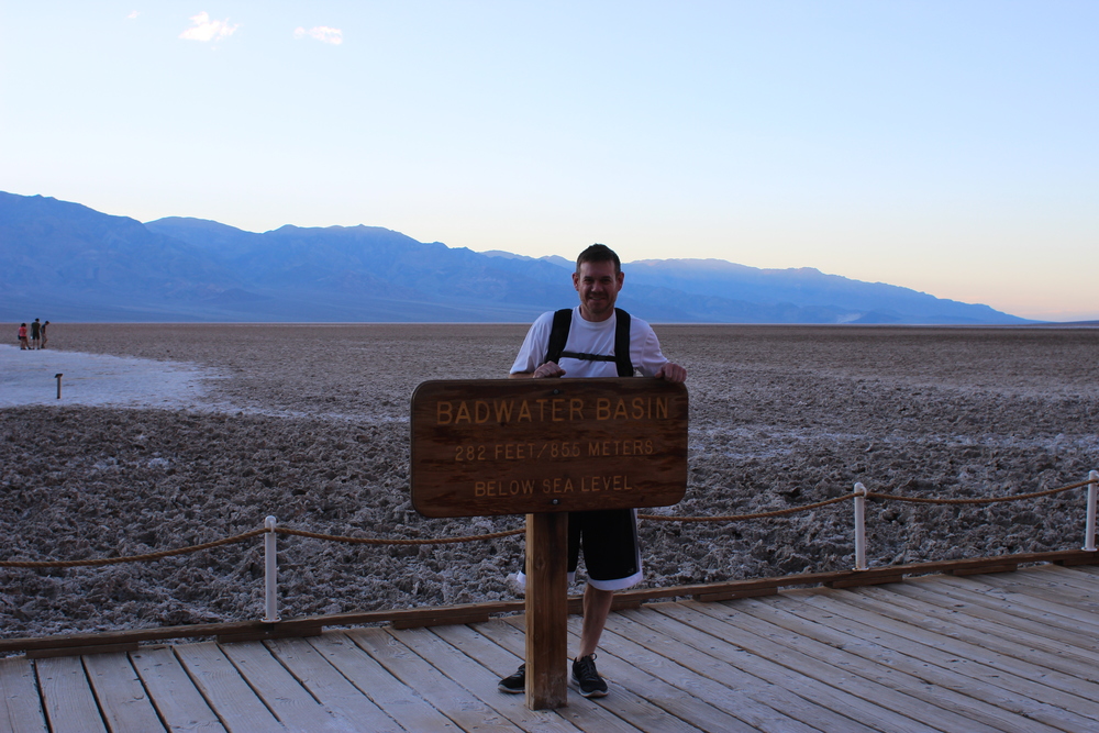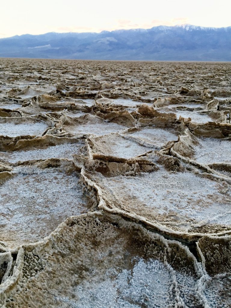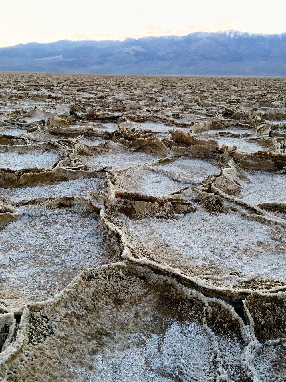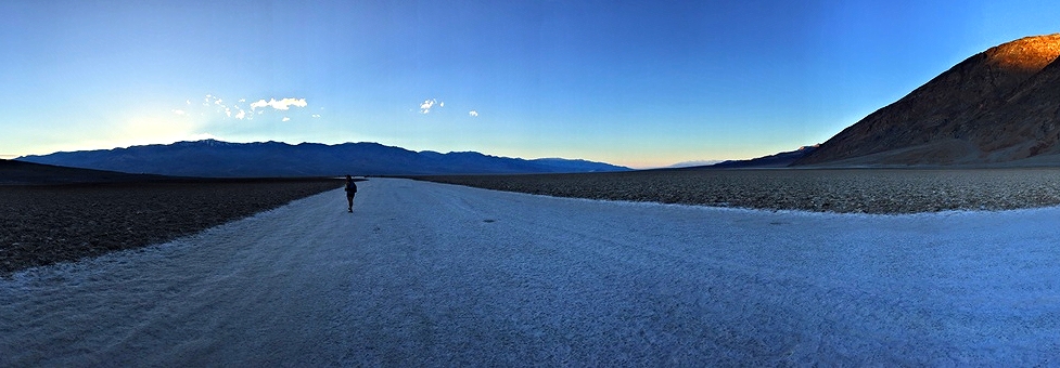
The Badwater Salt Flats are a must see for anyone making the trip out to Death Valley. It’s a short, easy walk that is suitable for not so active and hyper adventurers alike. The salt flats cover around 200 square miles and are one of the largest protected salt flats in the world. It is also the lowest point in the western hemisphere with an elevation of 282 ft below sea level.
Directions: Once you enter Death Valley, you will need to pay for a visitor pass at either Furnace Creek Visitor Center, Scotty’s Castle, Stovepipe Wells, or one of the automated fee machines. From Furnace Creek, head south on Route 190 for about 17 miles until you reach a well-marked parking lot on your right for Badwater Basin.
Best time to go: At dusk right before sunset during the off season (not April – September)
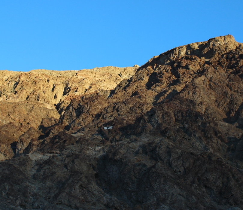
Once you are at the parking lot, look across the road for a sign on the Amargosa Range that reads “Sea Level.” Pretty cool to see how far below you are! From there, you can walk out to the flats. Most visitors stay within the first couple hundred feet. The salt is very fragile though, so it doesn’t look as interesting if a bunch of people have stepped on it. There are more concentrated salt flats further down. Take a trail on your left for about a half mile. When we went, there were a few photographers set up for the sunset. I imagine the shots were incredible.
View fullsize

FOLLOW ME ON SOCIAL MEDIA
FEATURED POSTS
Ultimate Guide to Hiking in Las Vegas
Best Guide to Backpacking for Beginners
