Trail Distance: 10 miles
Elevation Gain: 3250′
Terrain Rating: Moderate
Hike In: 9:04AM
Hike Out: 4PM (with 1.5 hour lunch break)

Trailhead: Sawyer River Road off Route 302. It is well marked from 302. Once you’re on Sawyer River Road, continue down for about 2 miles.
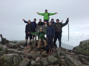
Mount Carrigain is one of the further mountains from Boston. The drive there takes about 3 hrs and 15 minutes. On a clear day, you will get 360 degree views from the lookout tower at the summit. We were lucky to have a beautiful, clear day although there were 30-40mph winds up top. The trail to Carrigain is easy: just follow the Signal Ridge Trail, summit, turn around and descend down the path you came from. You might see some Yellow Blazes, but don’t count on it.
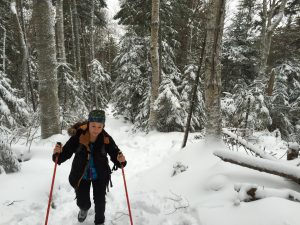
Starting from the parking lot, the first 1.7 miles are very gradual. Soon after you leave the parking lot, there is one big water crossing. It might be tough, especially if it rained the night before. We were able to navigate around it though without getting wet feet. After that, it is a very scenic walk until you hit your first trail junction.

At your first trail junction, remain left and start following the switchbacks. It is another 2.8 miles until you reach the Signal Ridge. About a mile in, the trail gets a lot steeper. Carrigain doesn’t have any big boulder scrambling, but the rocks can be pretty loose so be careful. Once you’re at this mile in from the junction, so 2.7 miles from the parking lot, this is probably your last chance to take a secluded “bio break.” The trail becomes very narrow and almost like a big long ramp to the summit.
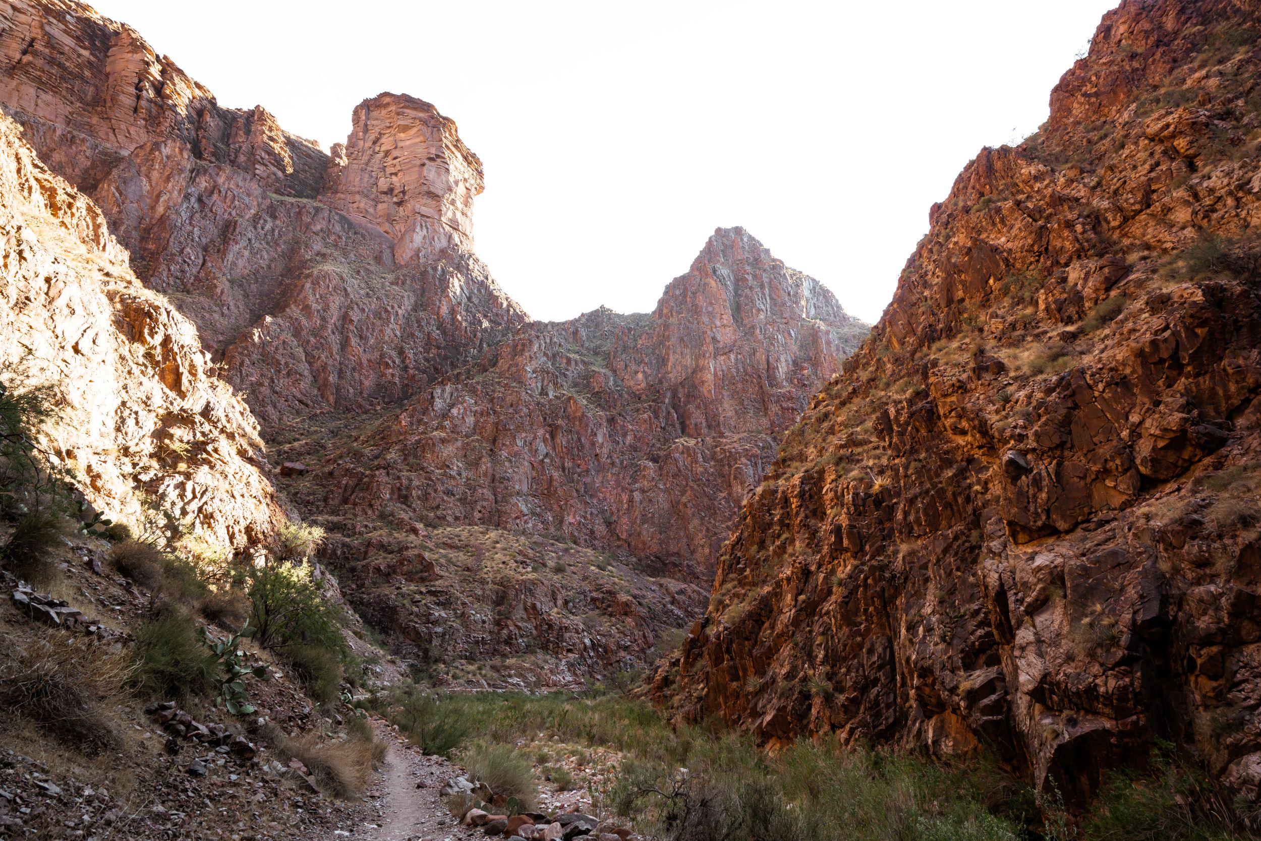
After some steep climbing you will reach the beautiful Signal Ridge. Views are spectacular here, but you’re not quite at the summit yet! We only stopped for a few minutes because of high winds. It might also be a good time to layer up if you’ve been hiking in short sleeves.
You will go through the trees again for another 0.5 mile before the summit of Carrigain, marked by a big clunky fire tower. This spot makes for a great place for lunch, especially if you can grab one of the wood panels to sit on. We stopped here for long and leisurely 1.5 hour lunch before heading back. Because there aren’t a lot of big boulders on the Signal Ridge Trail, we were able to race down really quickly. Overall, a fantastic day of hiking!

Gear Specs:
- 4L of water
- 3 ProBars, 2 Vermont Smoke & Cure Real Sticks, Summit Cookies, Turkey and Cheese Slices
- LL Bean Hiking Shoes, Darn Tough Socks
- Fjallraven Hiking Pants
- Topodesigns Mountain Pack
- Extra clothes packed away: socks, windbreaker, thin fleece
- Emergency Gear: Map & GPS, Headlamp, reduced First-Aid Kit, Swiss Army Knife
One Comment
J ai fait cette piste samedi 14 mai. Belle piste. Moderee,peu de points de vue sauf au sommet. Je ne recommande pas il y en a de bien plus belles.Ne pas oublier ses crampons en mai. Un merci special au gardien ou ranger qui cette journee a trouve mes crampons et remis a l endroit designe. Belle surprise pour moi et merci pour gentillesse et bons services.