
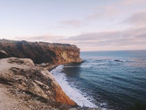
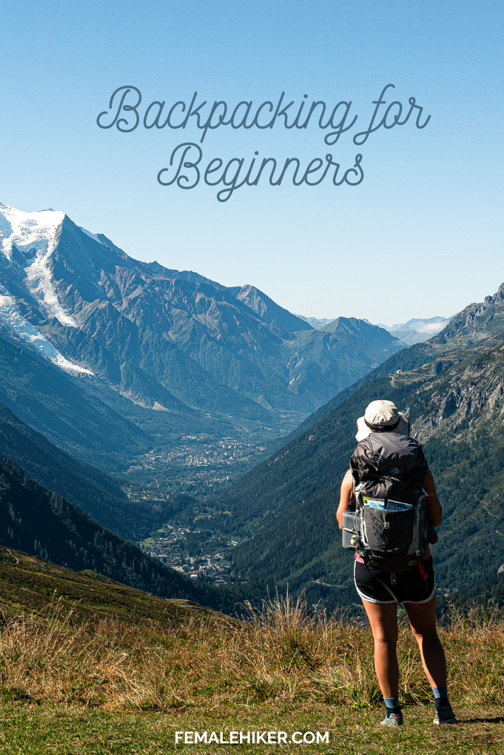
The Lost Coast trail is a 53-mile route along Northern California’s rugged coast, untouched by Highway 1. The hike is split into two sections, one from Mattole River to Shelter Cove, and the other from Hidden Valley to Sinkyone Wilderness State Park. We set out for the 25 mile northern section which hugs the coastline for most of the way. Most people will travel North to South to keep the wind at their backs.
When to go
It’s recommended to go from May to September when you are least likely to have rain. We went in early June and had one perfectly sunny day and two foggy days around 50-60 degrees.
Important things to know
Tide Tables: The most important part of The Lost Coast is spending some time before your trip to plan. The hike has a lot of sections impassable at high tide, so you need to think about your route options beforehand. You can check out the tide table here.
Food and Water: You’ll need to pack in your own food and water. There are many freshwater creeks along the hike, so some filtration is needed. Our group had a mix of iodine tablets and purification systems to fill up. I used MSR’s MiniWorks Microfilter and it worked great.
Camping: There are no official campsites on the trail, so you need to think about places to spend the night. Some quick tips are to make sure you have a water source nearby, shelter if the weather is poor, and be a safe distance away from the high tide. Make sure you buy a detailed map so you can find a good camp spot!.
Watch out for: ticks, rattlesnakes, bears, and poison oak. We found some ticks on clothes but luckily none of us had any on our bodies. We didn’t run into rattlesnakes either but were still careful when setting up camp near driftwood and black sand. Bear canisters are required and can be rented from your shuttle company, REI or with the BLM. Parts of the trail were covered in poison oak, so pants are recommended. Be sure you can spot poison oak!
Waste: The entire Lost Coast is pack in, pack out. Make sure you have garbage bags or some other means of carrying your trash out. For your own personal waste, the BLM recommends digging a 6-8 inch cathole on the beach before doing your business so your waste washes into the ocean during high tide.

Our hike
Although there are many options, the one we choose was hiking-intensive at 3 days, 2 nights with 1 additional travel day. Our group varied in backpacking experience and everyone enjoyed this more hiking-intensive option!
- Day 1: Mattole River to Spanish Creek (10.5 miles)
- Day 2: Spanish Creek to right before Horse Mtn Creek (11 miles)
- Day 3: Right before Horse Mtn Creek to Black Sands Beach (3.5 miles)
Travel Day
We arrived at SFO at 12PM and slowly made our way up to the King Range National Conservation Area. After stopping for supplies and In N Out, we arrived at the Nadelos campsite at 9PM and set up camp.
Day 1: 10.5 miles in 6.5 hours
The next day, we set out at 7AM to Black Sands Beach where we met our driver from Lost Coast Adventures. After a 2 hour bumpy and winding ride, we arrived at Mattole River ready to hike.
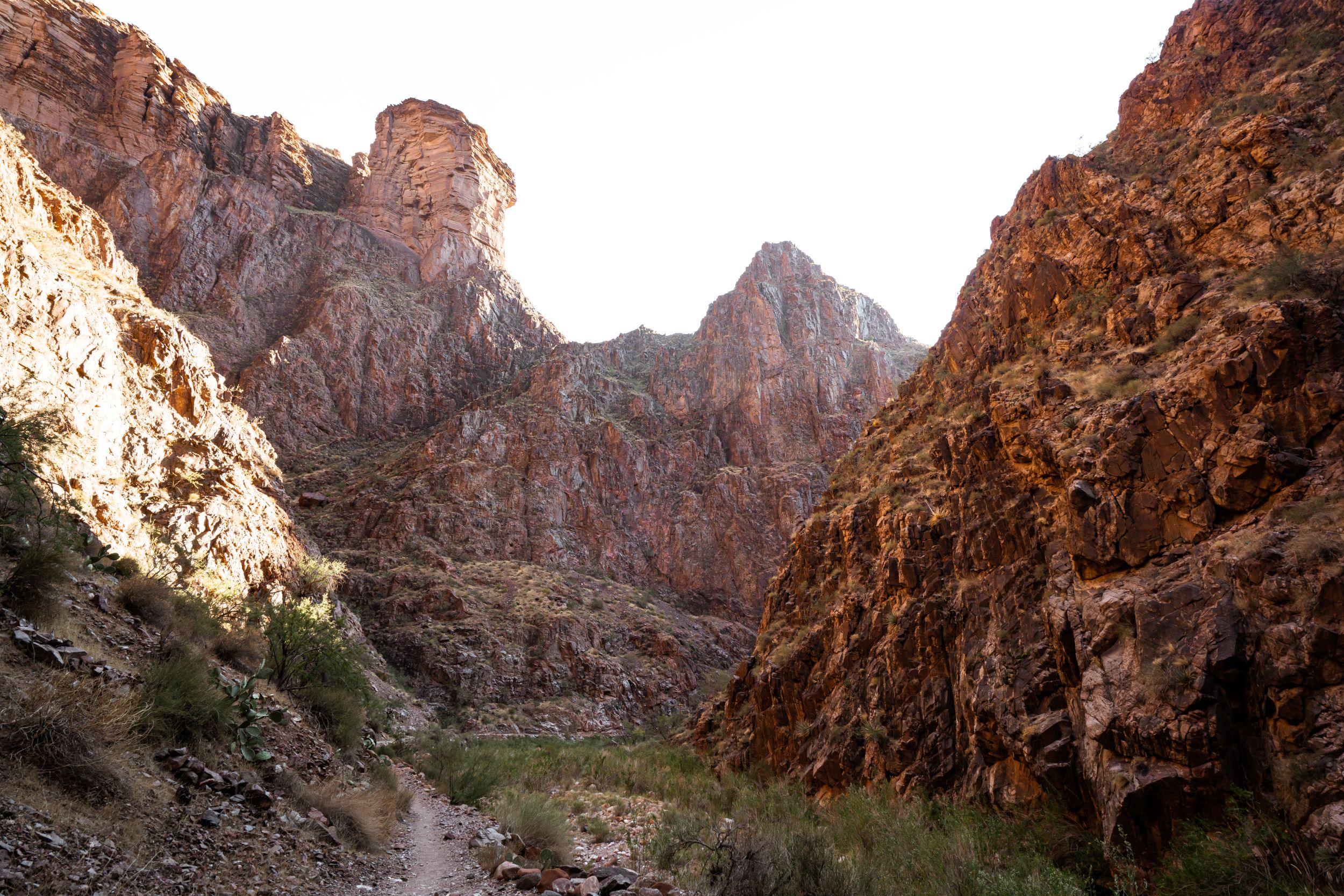
At 9:35AM we left Mattole River on a grassy trail that meanders along the beach for 1.9 miles. You quickly come upon a 0.5 mile section that is impassable at high tide. Once you arrive to the abandoned lighthouse, the terrain becomes much rockier. The next few miles are impassable at high tide and hug closely to the beach with a mix of black sand, small pebbles, and bigger rocks. Along the way we passed a group of sleepy seals and stopped for a photo op.
Soon you will get a break from the rocks and reach Spanish Flats which stretches for 1.9 miles. Most people stop somewhere along Spanish Flats. Depending on how fast you arrive, you will have your choice of campsite. We decided to keep hiking for a bit more and were rewarded with a perfect secluded area just after Spanish Creek. At 4PM, we pitched our tents and prepared to make dinner.

Day 2: 11 miles in 7 hours
The morning was slow going after a long day. We enjoyed the sunrise at Spanish Flats and packed up our wet gear. We left camp at 10:22AM and quickly left the grassy trails for more sand and rocks.
6.2 miles later at Big Creek, we found a great lunch spot just past the creek. There were chairs already set up and we had a nice place to cook lunch. After our lunch break, we set up for a long 4.8 mile hiking section through the impassable high tide area. We felt like this section was the hardest of the trip because of all the maneuvering around rocks and small pebbles. At 4:45pm, we finished the impassable area and started looking for camp.
There is one main camp area right after you finish the impassable high tide zone, but it was already taken. We continued further past two small creeks in the detailed BLM map and at 5:15pm arrived at a campsite 0.5 miles before Horse Trail at the smaller creek. We originally had set up camp right on the beach but as we watched high tide get closer and closer, we found 2 huge campsites above in the trees and grass.
Day 3: 3.5 miles in 1.5 hours
Having done 2 longer days already, our 3rd day was quick and easy. We left the campsite at 11AM and after a short stroll along the beach we arrived at our car at Black Sands Beach at 12:18PM.

FAQs
What type of shoes should I pack?
We had a variety of shoes on the trip, from low ankle hiking boots to very rugged sturdy boots. I wore my trusty mid-ankle Salomon boots and loved them. For camp, I brought my Keen’s that I’ve had since 2005 (similar here)! As an aside, I think gaiters are very important to pack on this trip. It prevents little rocks from getting in your boots and helps keep your boots dry during the many creek crossings. I bring my Outdoor Research ones almost everywhere.
There are creek crossings? Will be feet get wet?
Yes and no. We found a way across most of the creeks by a combination of rock hopping and driftwood bridges. There were one or two creeks where we had some wet feet, but it was maybe only mid-calf deep and not very long. Gaiters and Gore-Tex boots help with that!
Do I need a permit to hike?
Yes you can get a permit at the trailhead
EDIT: Walk-up permits are no longer available. You need to reserve a permit ahead of time online here.
Do I really need bear canisters?
Yes, there is a $150 violation fee. The bear canisters fit nicely in the middle of your pack and we found that it was a good way to separate meals per day. Be sure to put your bear canister a good distance away from your tent.
How do I know where to set up my tent for the night?
You’ll see many semi-established sites along the way, with fire pits set up and driftwood benches. The most important things to think about are your water source and weather dependent shelter. We also poked around for rattlesnakes before settling in. The strategy we had was to keep walking until we found a more private area. We lucked out on our campsites – one of them even had a perfectly flat cutting board!
Have more questions? Hit up the comment box below!

6 Comments
Awesome post. The most definitive I’ve found for my needs (3 day). Thank you. And, please consider adding the Ausangate/Rainbow Mt. in Peru to your bucket list. It changed my life.
Thanks Michael! And wow that looks beautiful. I’ll add it to my list for sure.
Is it necessary to reserve a permit ahead of time or are there overnight permits at the trailhead? The website says there are no more reservable permits but i’m wondering about walk ups
Hi Morganne,
You used to be able to walk up to get a permit, but I believe they changed regulation around that. You now need to reserve a permit ahead of time online.
Hi Michelle, great article! Im going 8/23 and the tides are bad (lowest at 2am, then small little w for 2 hours at 3 pm). A few q’s: is there an overland part past Punta Gorda (1st impassable)? How long would you say the sea lion gulch to Spanish flats impassable zone takes to walk? What about the last long impassable zone? Thanks!
Hi Jeff!
For Punta Gorda, it weaves in and out along some of the grassy areas but I do remember a section of the trail that was beach-only.
For Spanish flats, about 4 miles. For the the last impassable section, about 5 miles.
You can start around 2 hours after high tide.
hope this helps!