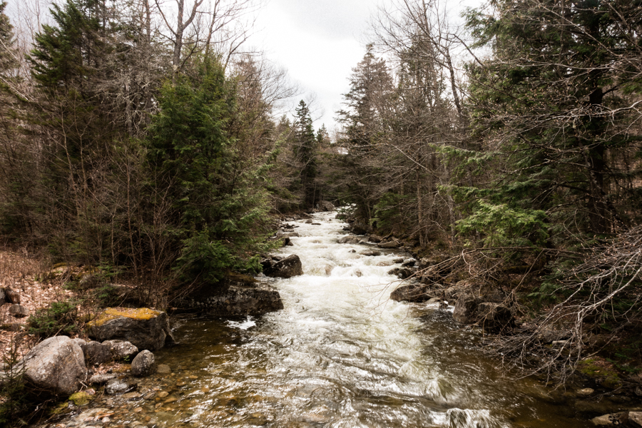
Trail Distance: ~8 miles
Elevation Gain: 2,554′
Terrain Rating: Easy Side of Moderate
Hike In: 10:49AM
Hike Out: 4:07PM
Trailhead: At the end of Little River Road in the White Mountains, New Hampshire
Mount Hale is easily accessed from Zealand Road in the summer, making for an easy 4.6 mile hike. Unfortunately Zealand Road was still closed as of April 28, so we had to summit from the other side using an unofficial trail called Fire Warden’s Trail. We took a little more time than usual trip planning because we would be navigating with marked blazes or signs. Using the official White Mountains Guide map, we marked our parking spot at Little River Road to Mount Hale. The instructions are as follows:
- Park at the end of Little River Road
- Take the bridge behind you across Little River
- Take a left at the bridge and follow the river until you hit Haystack Road (1 km)
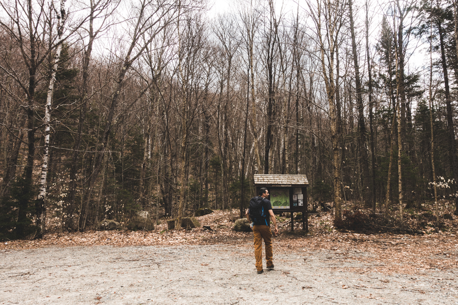
- Once on the paved Haystack Road, turn left until you reach the marked North Twin Trailhead
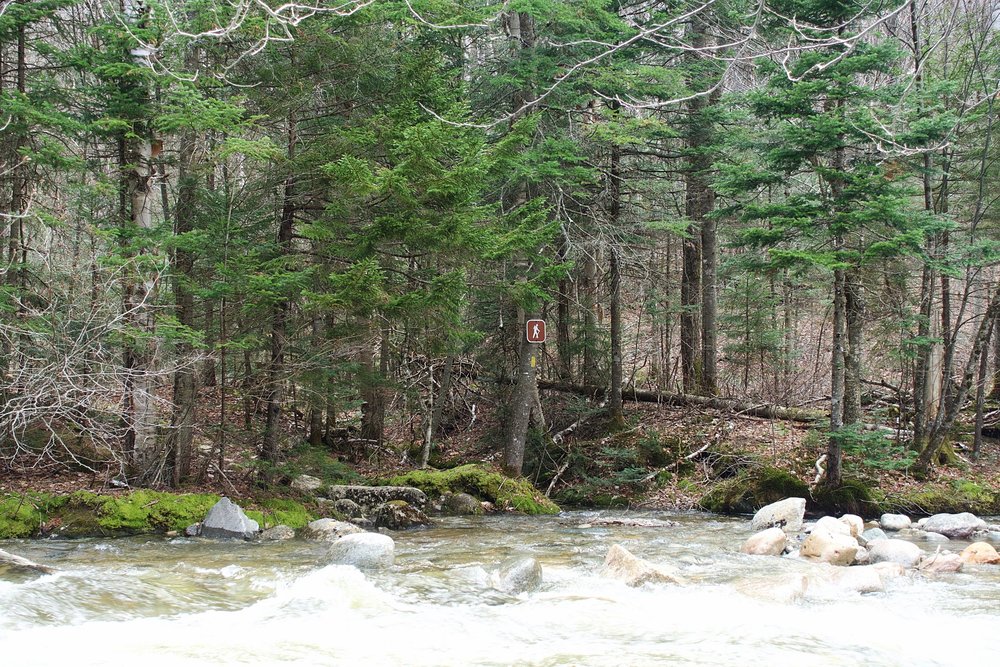
- Follow North Twin Trailhead, until you reach Little River. DO NOT CROSS. (~1 km)
- Instead, keep walking upstream, keeping the river on your right. You’ll cross a tiny stream a few hundred yards after the “do not cross” point
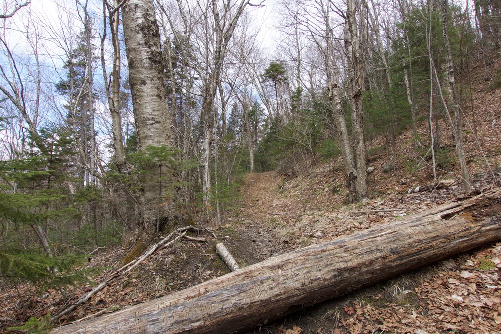
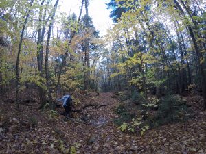
- Soon after you will hit a tree in the middle of the trail with 2 axe marks, marking the beginning of Fire Warden’s Trail
Check my photos below for more hints on finding the trail!
Once you’re on Fire Warden’s Trail, your path is relatively straight forward. Even though the trail is unofficial, there is a good amount of foot traffic that makes the trail easier to follow. We followed the streams of running water up towards the peak. We ran into snow for the last mile until we reached the (obstructed) view of Mount Hale. Snowshoes might have been helpful for a few sections here, but there were so many falling snow bridges 4-5 inches thick that I’m not sure snowshoes would have prevented you from post holing anyway. It was all soft snow so spikes or crampons weren’t super useful either. Welcome to spring hiking! From there, we had lunch and came back the way we came for a quick descent!
The beginning of North Twin Trailhead A tree in the middle of the trail marks the turn for Fire Warden After making a left / more of a U-turn at the middle tree, this fallen log marks the beginning of the Fire Warden







3 Comments
Hey all,
Great detail of the Fire Wardens Trail and how to find it, thank you! It helped me this weekend.
Id like to add some details if you’re coming from the opposite direction (From North Twin).
Its ~2.5 miles from North Twin to the first river crossing. The Fire Wardens trail is well marked for an unofficial trail (as a bit of history, there used to be a fire tower at the top of hale, and this trail roughly follows the old jeep access road to that fire tower, its still frequented by cross-country skiers).
There are 2 marked trees for the trail. One is a thin tree in the middle of the trail with a notch carved into each side. The other is a larger tree on the up-slope of the trail, next to the initially steep dirt embankment (this is the where thhe Fire Wardens Trail meets the herd path).
To get here from North Twin – make the initial river crossing to position the river on your left (you are now east of the river). When you arrive at the second river crossing opt to continue on the herd path, keeping the river on your left. You are now walking in between the Middle and Northernmost river crossing via a herd path. The trail marker will be on this section of the trail, closer to the northernmost crossing. My phone had died at the time, but if you are reading this and remember to drop a pin on google maps, the coordinated would be very helpful for the community! Thank you
ps. this trail is approximately 2.5 miles by my GPS count.
Thank you for adding this!!
Hello my friend! I want to say that this article is amazing, nice written and include almost all important infos. I would like to look more posts like this .