Trail Distance: 5.8 miles
Elevation Gain: 2400′
Terrain Rating: Easy
Hike In: 9:15AM
Hike Out: 2:23PM
Snow Conditions: Packed powder, dry snow
Winter Gear: Microspikes recommended; barebooting ok

Trailhead: Behind the train tracks at the AMC Highland Center off Route 302. Look through the trees for a trail sign. You can park at the AMC Highland Center and then walk to the train tracks.
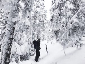
Mount Tom is another great option for beginner winter hikers. Given clear conditions, the ascent is gradual and covered with trees. The weather was absolutely perfect – mid 20s with clear, sunny skies, around 6 inches of packed dry snow from last week, and no wind. I tend to like to hike at a fast pace but leave plenty of time for photos and hot chocolate in the winter, so we only did Mount Tom. Other peakbaggers can continue to Mount Field, and those with 2 cars can even do 3 peaks with Mount Willey!

main stremain stream crossingam crossing
Starting from the trailhead, you will walk on mostly flat terrain for the first 1.3 miles. There is 1 main stream crossing and around 5 or 6 small stream crossings. They were all manageable given the snowfall and snow bridges. Be careful for foot holes! Along the way we saw a ton of small critter and cat tracks in the snow
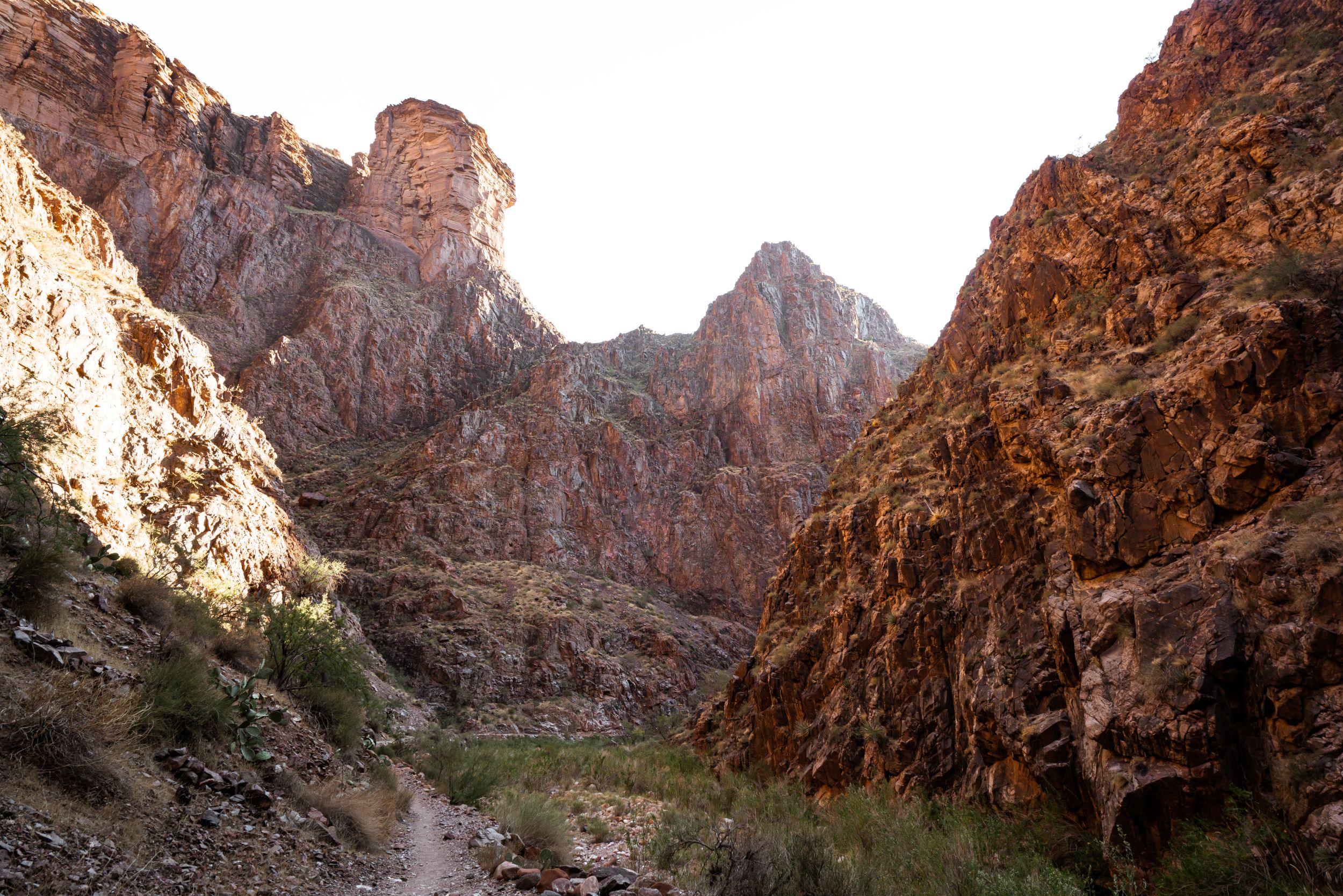
After 1.3 miles from the trailhead, you will hit the Avalon and A-Z trail junction. Bear right for the A-Z Trail to Mt. Tom. The trail passes through a deep ravine in the first half, and then another small ravine. You will follow along a ridge for a bit too. The skies were clear and blue, so it made for a beautiful scene! It is absolutely gorgeous when the trees are covered with snow. After the ravines, you will start a much steeper ascent. This is where some people put on their snowshoes. We decided to just use microspikes this trip though. We passed a few hikers here and had brief conversations about what a great day it was.
The last 0.6 miles up to the Mt Tom spur is exhilarating. With the snow fall, I thought I was heading towards the North Pole, or in a winter Mario Kart race. The snow kept the trail compact and narrow so it felt like the trees were hugging you as you hiked up. Once you get to the top, there are 2 options: Left and Right. Going Right will take you to an amazing, gorgeous lookout. You can see Mount Washington from up there! We decided to stop for lunch here and feed the dogs. Heading back to the fork, if you go Left, that is the actual summit of Mount Tom. The views are more obstructed here, but there were tons of Gray Jays (Canadian Jays) flying around. They have unfortunately become desensitized to humans as a lot of hikers feed them (please don’t do this!). A few came close to us, but once the dogs barked, they flew away.
What an absolutely incredible day up Mount Tom!
Gear Specs:
- 3L of water
- Lots of bars, sandwich, and hot cocoa
- Wool socks
- 2 baselayer shirts and a snowboarding jacket
- Salomon Anka CS WP
- Kahtoola Microspikes
- Athleta Power Lift pants and Columbia Saturday Trail Strech pants over them
- Outdoor Research Gaiters
- Marmot Evolution glove
- Osprey Pack
- Extra clothes packed away: extra socks, fleece, fleece hat, extra mid-layer
- Emergency Gear: Map & GPS, Headlamp, reduced First-Aid Kit, Swiss Army Knife, hand/feet warmers
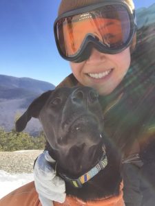
More Photos:

Look between the 2 buildings for the trailhead! 


2 Comments
I think I passed you folks yesterday as I was descending, I recall the dogs! One clarification to your post. Tom never rises above treeline, it does not have a true alpine zone. I wish it did, then it would have more views! 🙂
Thanks for the clarification! Will update 🙂