Distance from Boston: 20 minutes
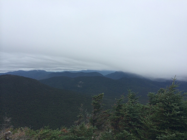
Characteristics: Spectacular views, more elevation
Size: 7,000 acres
Trip length: 2 days
Trip distance: 24.6 miles
Terrain Rating: Easy/Medium
Day 1 Hike In: 8:36AM
Day 1 Hike Out: 3:15PM
Day 2 Hike In: 8:51AM
Day 2 Hike Out: 2:30PM
The loop trip begins at Smokemont Campground, a popular campground through the Blue Ridge Highway. The trail entrance is by the F campsites. For the first 1.5 mi, you will follow a wide horse trail (watch out for the poop!).
Trail Distance: 11.6 miles
Elevation Gain: 2800'
Terrain Rating: Average
Hike In: 9:12AM
Hike Out: 3:42PM
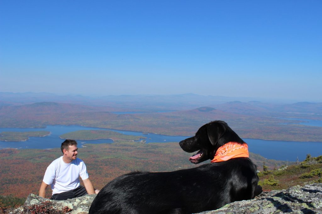
Trailhead: Stratton Brook parking area on Stratton Brook Pond Road in Kingfield, ME. When you turn on Stratton Brook Pond Road, follow the road about 2 miles until you reach the parking lot (mileage is not marked). Keep right at the fork on Stratton Brook Pond Road (it crosses the AT).
Trail Distance: 8.8 miles
Elevation Gain: 3350'
Terrain Rating: Difficult
Hike In: 8:30AM
Hike Out: 2:52PM
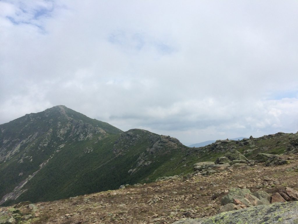
Trailhead: Lafaytte Place Parking Lot in Franconia Notch on I-93.
Trail Distance: 9.8 miles
Elevation Gain: 1247'
Terrain Rating: Average
Hike In: 8:12AM
Hike Out: 3:06PM
Trailhead: Hancock Overlook Parking Area on the Kancamagus Highway (Rt 112) in the White Mountains. The parking area is easy to find, as it's located on a hairpin turn. Parking is a $3 fee.

Trail Distance: 5 miles
Elevation Gain: 2200'
Terrain Rating: Easy/Average
Hike In: 9AM
Hike Out: 1:40PM
Map link here.
Trailhead: Waterville Valley Ski Area Parking Lot #1. From I-93, take exit 28 for Route 49. At the bottom of the exit ramp, head East on Route 49. After 10.4 miles, turn left onto Tripoli Road. Follow Tripoli Road for 1.2 miles, then turn left onto the Waterville Valley Ski Area. The trail starts right across from Lot #1.
Trail Distance: ~7 miles
Elevation Gain: minimal
Terrain Rating: Above Average
Hike In: 8 AM
Hike Out: 2:05PM
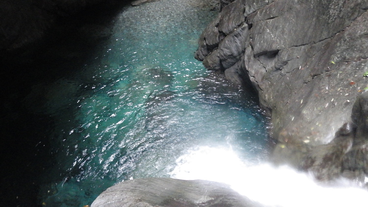
Trailhead: The river begins in the small town of Sanjhan or Pratan. Ask around for the river - it's quite famous and the locals are extremely friendly.
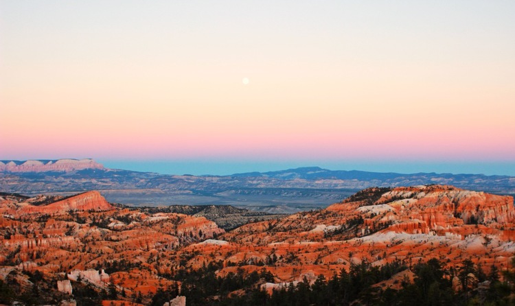
Bryce Canyon is one of the many national parks in Utah. It's extremely unique and beautiful, as it's covered with hoodoos. The park is small and can be done in either 1 or 2 days. As with many national parks, it can be very touristy.