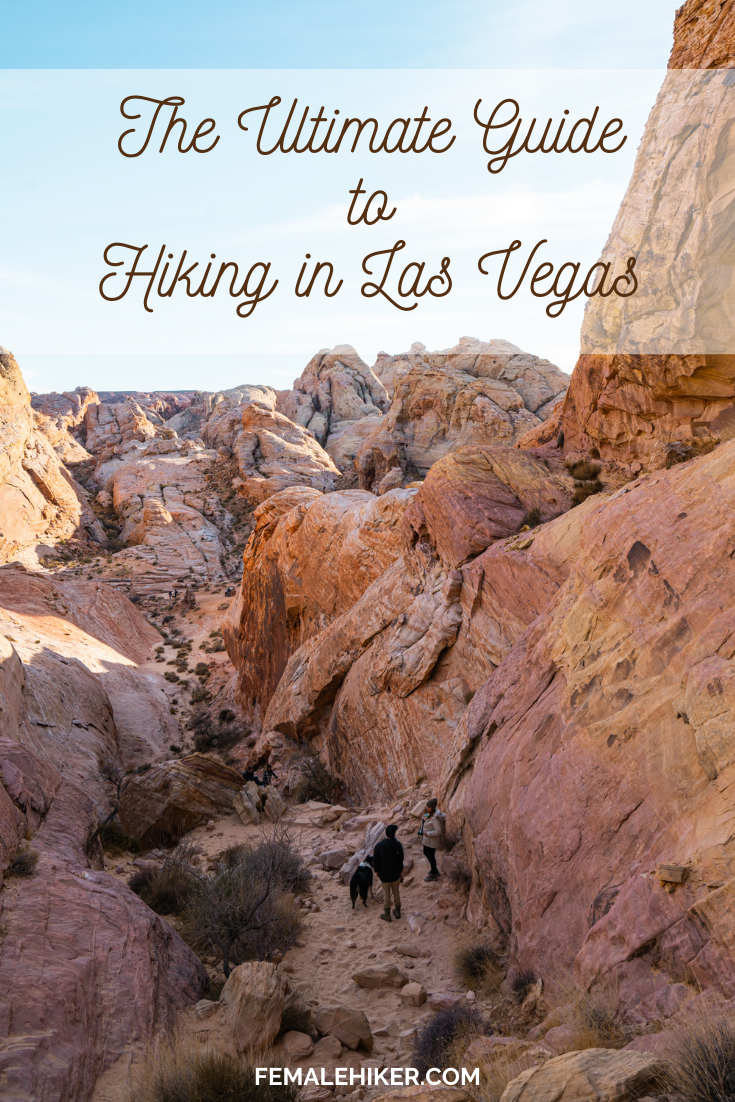
Idyllwild is a small hiking town near the San Jacinto Mountains. 2 hours from Los Angeles, it’s one of the closest hiking destinations with trees instead of dry shrubs
Trail Distance: 9.6 miles
Elevation Gain: 2580'
Terrain Rating: Easy Side of Moderate
Hike In: 10:40AM
Hike Out: 4:03PM
Trail Distance: 8 miles
Elevation Gain: 2650'
Terrain Rating: Easy Side of Moderate
Hike In: 11AM
Hike Out: 4:05PM
Trail Distance: 4.4 miles (book), 6.7 miles (MapMyHike)
Elevation Gain: 1,800 ft (book), 1,663 ft (MapMyHike)
Terrain Rating: Intermediate
Time In: 9:31AM
Time Out: 1PM
Conditions: Very icy, drifted snow
Trailhead: The trailhead is at the end of the Welch-Dickey Parking Lot. From 93-N, take Exit 28 and head towards Waterville Valley on Route 49 East. Take a left onto Upper Mad River Road and then a right onto Orris Road. Parking fee is $3.
Trail Distance: 3.1 miles
Elevation Gain: 600 ft
Terrain Rating: Easy/Moderate
Time In: 10:31AM
Time Out: 12:28PM
Conditions: Slightly muddy, melted snow
Trailhead: The trail sits behind the Inn at Long Trail on Route 4 near Killington, VT. You can park to the right of the parking lot. Be sure to lock your belongings in the trunk as cars have been broken into as of September 2014.
Trail Distance: 5.8 miles
Elevation Gain: 2400'
Terrain Rating: Easy
Hike In: 9:15AM
Hike Out: 2:23PM
Snow Conditions: Packed powder, dry snow
Winter Gear: Microspikes recommended; barebooting ok
Trailhead: Behind the train tracks at the AMC Highland Center off Route 302. Look through the trees for a trail sign. You can park at the AMC Highland Center and then walk to the train tracks.
Trail Distance: 6.4 miles
Elevation Gain: 2350'
Terrain Rating: Average
Hike In: 9:34AM
Hike Out: 2:43PM
Snow Conditions: Packed powder, light rain/snow
Winter Gear: Some with snowshoes, others with just boots.
Mount Pierce is a great winter hiking option for beginner winter hikers. The trail is very straight forward and the terrain is usually easy/average because of frequent use. The hike is a gradual 3.2 miles up and it reaches a not so obvious summit at Mt Pierce. From there, you can either continue onto Eisenhower, Washington, or turn back around.