Trail Distance: 4.4 miles (book), 6.7 miles (MapMyHike)
Elevation Gain: 1,800 ft (book), 1,663 ft (MapMyHike)
Terrain Rating: Intermediate
Time In: 9:31AM
Time Out: 1PM
Conditions: Very icy, drifted snow
Trailhead: The trailhead is at the end of the Welch-Dickey Parking Lot. From 93-N, take Exit 28 and head towards Waterville Valley on Route 49 East. Take a left onto Upper Mad River Road and then a right onto Orris Road. Parking fee is $3.
Trail Distance: 6.4 miles
Elevation Gain: 2350'
Terrain Rating: Average
Hike In: 9:34AM
Hike Out: 2:43PM
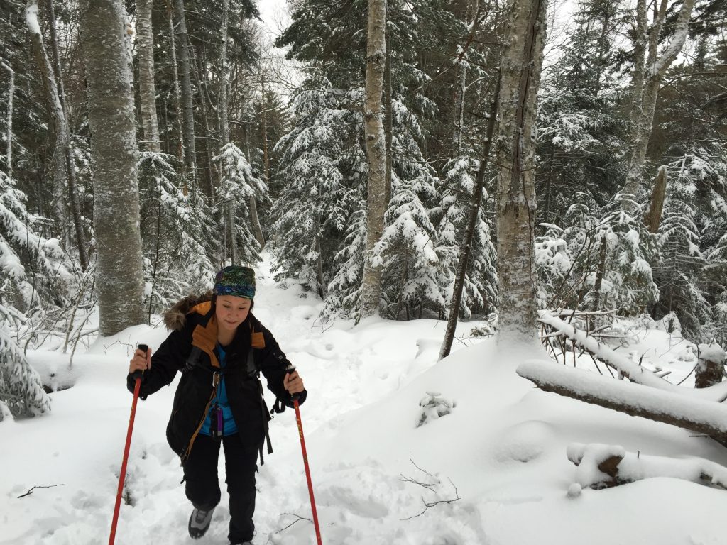
Snow Conditions: Packed powder, light rain/snow
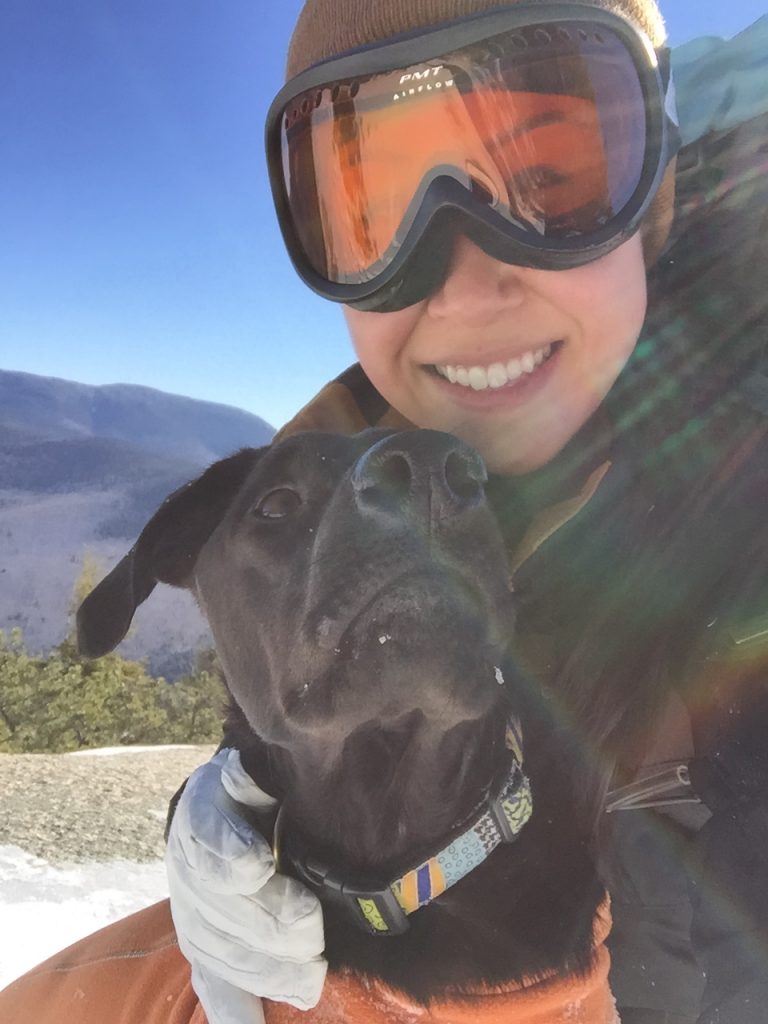
Winter Gear: Some with snowshoes, others with just boots.
Mount Pierce is a great winter hiking option for beginner winter hikers. The trail is very straight forward and the terrain is usually easy/average because of frequent use. The hike is a gradual 3.2 miles up and it reaches a not so obvious summit at Mt Pierce. From there, you can either continue onto Eisenhower, Washington, or turn back around.
Trail Distance: 8.8 miles
Elevation Gain: 3350'
Terrain Rating: Difficult
Hike In: 8:30AM
Hike Out: 2:52PM
Trailhead: Lafaytte Place Parking Lot in Franconia Notch on I-93.
Trail Distance: 9.8 miles
Elevation Gain: 1247'
Terrain Rating: Average
Hike In: 8:12AM
Hike Out: 3:06PM
Trailhead: Hancock Overlook Parking Area on the Kancamagus Highway (Rt 112) in the White Mountains. The parking area is easy to find, as it's located on a hairpin turn. Parking is a $3 fee.

Trail Distance: 5 miles
Elevation Gain: 2200'
Terrain Rating: Easy/Average
Hike In: 9AM
Hike Out: 1:40PM
Map link here.
Trailhead: Waterville Valley Ski Area Parking Lot #1. From I-93, take exit 28 for Route 49. At the bottom of the exit ramp, head East on Route 49. After 10.4 miles, turn left onto Tripoli Road. Follow Tripoli Road for 1.2 miles, then turn left onto the Waterville Valley Ski Area. The trail starts right across from Lot #1.