
Scottsdale is popular for having great weather when it is cold everywhere else. Visitors will typically flock there for the fall and winter seasons when hiking trails in Scottsdale are perfect for your itinerary.
This post may contain affiliate marketing links (including the Amazon Services LLC Associates Program), which means I may be paid a commission on sales of those products. These are products I fully use and endorse, and my content is not influenced by advertisers or affiliate partnerships.
Why You Should Hike Scottsdale
Scottsdale is a popular city next to the more well-known city of Phoenix. Visitors typically love Scottsdale for the Sonoran desert views, lively restaurant and nightlife scene, and services like luxury hotels and spas to get you pampered.
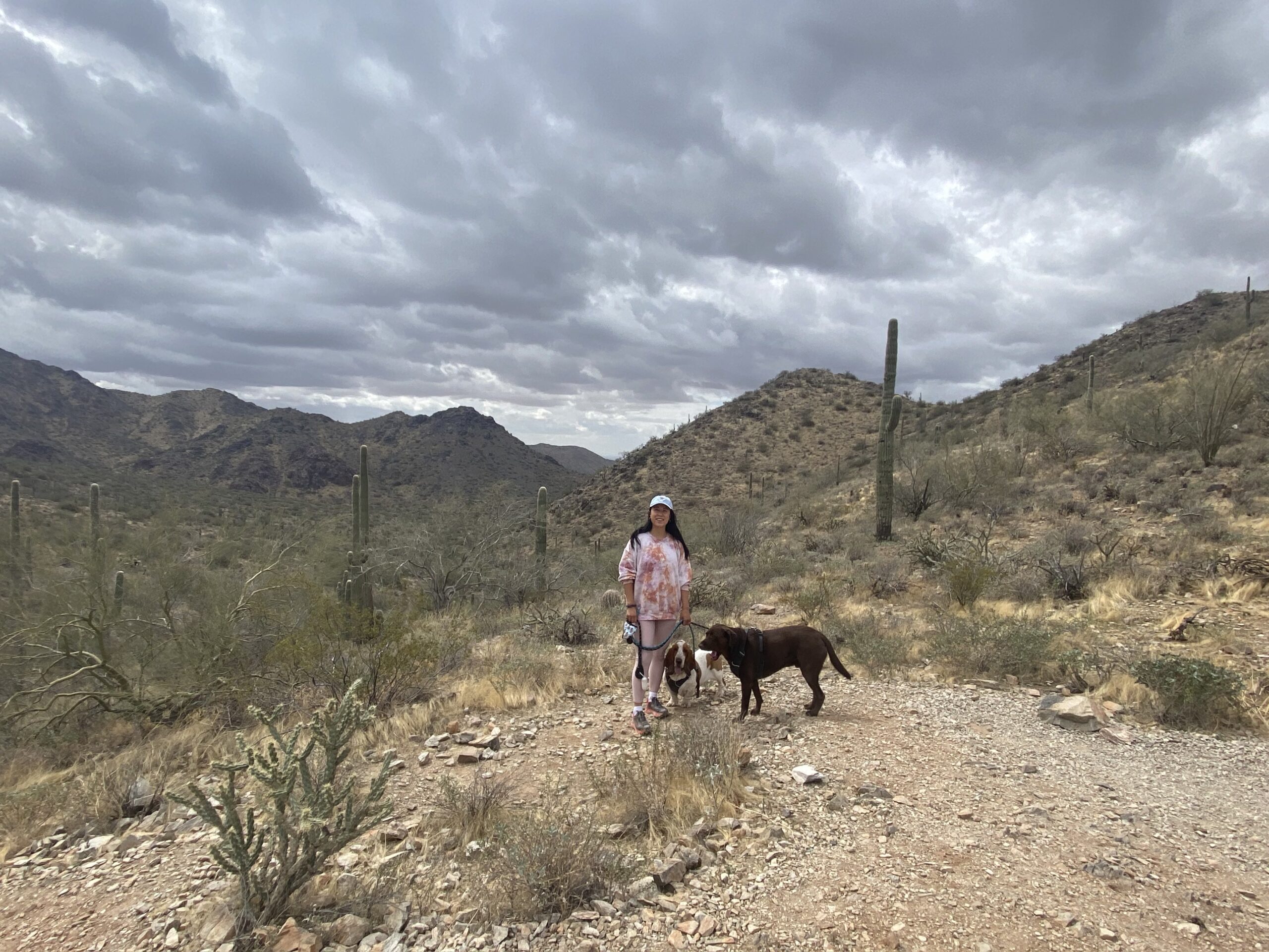
As part of the wellness vibe of Scottsdale, the hiking trails are key to keeping you energized! When we lived in Scottsdale, we loved spending the weekend mornings hiking. We found that many other snowbirds also enjoyed the same.
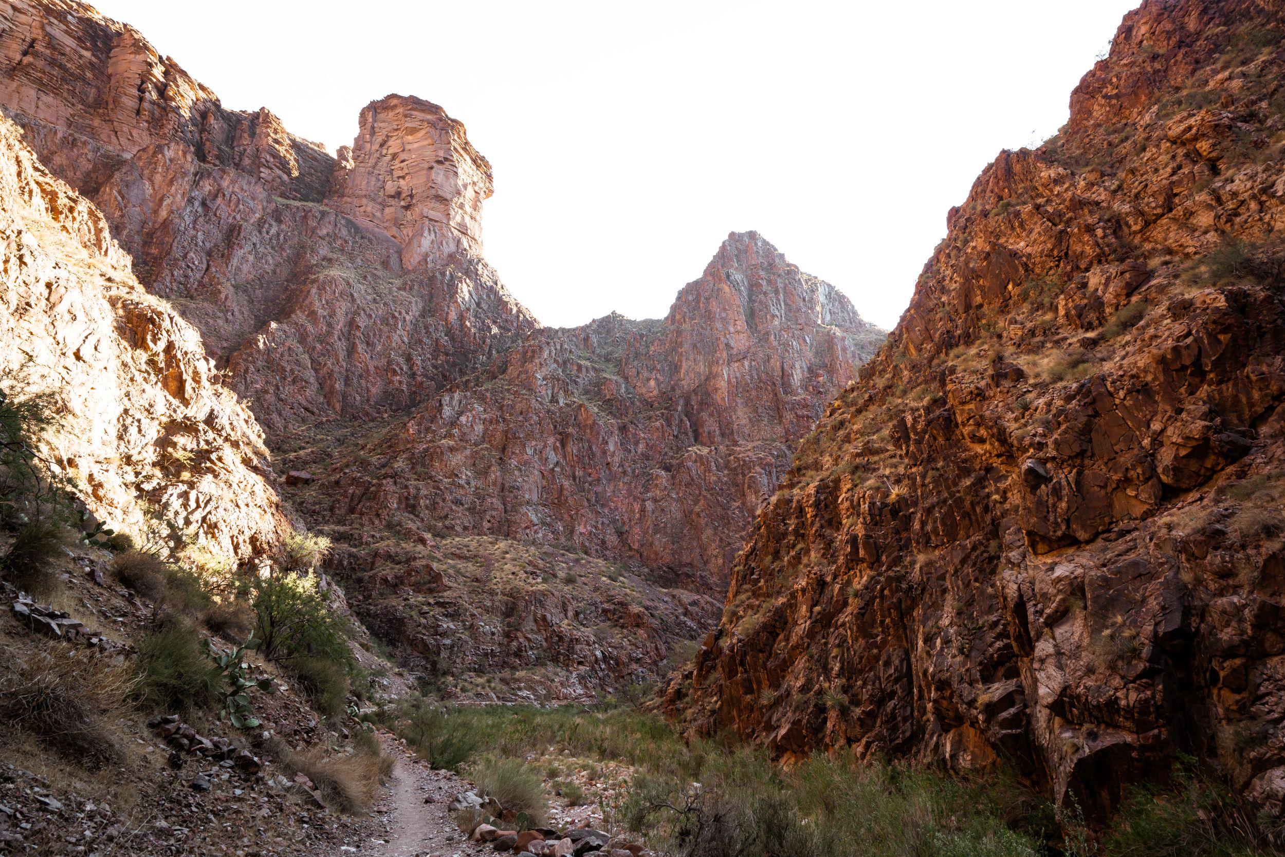
There are a lot of different hikes in Scottsdale Arizona. There are easy trails with minimal elevation gain, tougher hikes up the famous Camelback Mountain, and family-friendly strolls to see some cool cacti.
Keep reading for more information on hiking trails in Scottsdale.
Best Time to Visit Scottsdale
People will typically travel to Scottsdale in the Fall and Winter, starting from around October to March. This is when the weather in Phoenix and Scottsdale is most pleasant, around the 70s and 80s.
During the Fall and Winter, there are many events that happen in Scottsdale to cater to the snowbirds. In 2023, the Phoenix and Scottsdale area will be hosting both Waste Management and the NFL Super Bowl!
While you are here, it is fairly easy to visit all of the hiking trails in Scottsdale as it is rare to run into a heat wave where temperatures soar above 100 degrees. You can hike in the morning when it is cooler around 60 degrees, or wait until the afternoon when it is a bit warmer in the 70s and 80s.
Looking for more hiking ideas? Check out 15 Epic Things to do in Sedona or make a trip to the Grand Canyon
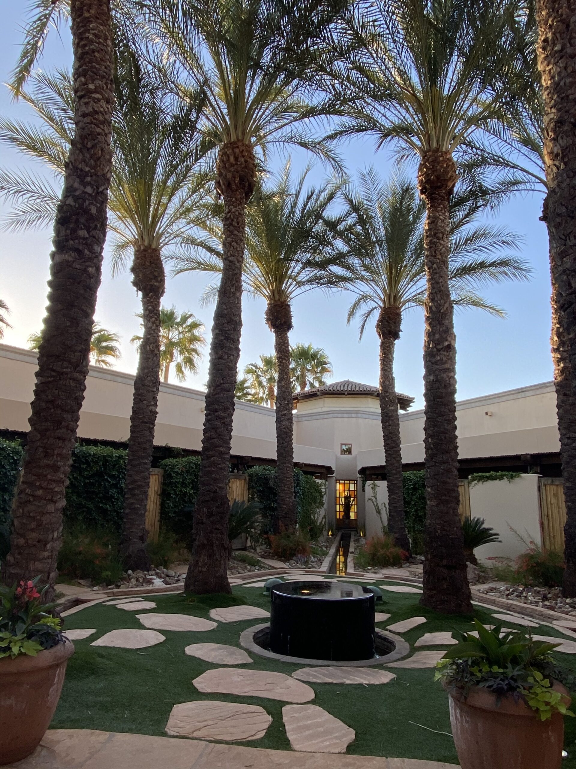
What to do in Scottsdale, Arizona
Part of what makes Scottsdale an amazing vacation destination is how many activities there are for all types of travelers. For example, did you know you can go on a Scottsdale Jeep Tour?
Arts and Architecture
There are lots of cool Southwest desert art and architecture sites in Scottsdale and the Phoenix, Arizona area. One of my favorites is Taliesin West. It is a UNESCO World Heritage site of architect Frank Lloyd Wright. You can visit Taliesin West 7 days a week from 10AM to 5PM.
Another cool place to visit while you are in Scottsdale is Lighthouse ArtSpace Phoenix. This is a more modern, entertainment multi-plex that hosts events such as the famous Immersive Van Gough Experience. You will need to buy tickets ahead of time for these events.
Food & Drinks
Scottsdale can definitely be a party destination, so no surprise that there are lots of good restaurants and bars here.
Scottsdale, in particular, has plenty of restaurants with a good vibe – whether it be an outdoor patio or Instagrammable decor.
Some great restaurants in Scottsdale include Postino, The Henry, Toca Madera, The Canal Club. ZuZu at the Hotel Valley Ho also has unique milkshakes that rotate every month.
If you are looking for something more active, you must check out the hiking trails in Scottsdale! Keep reading below for more inspiration.
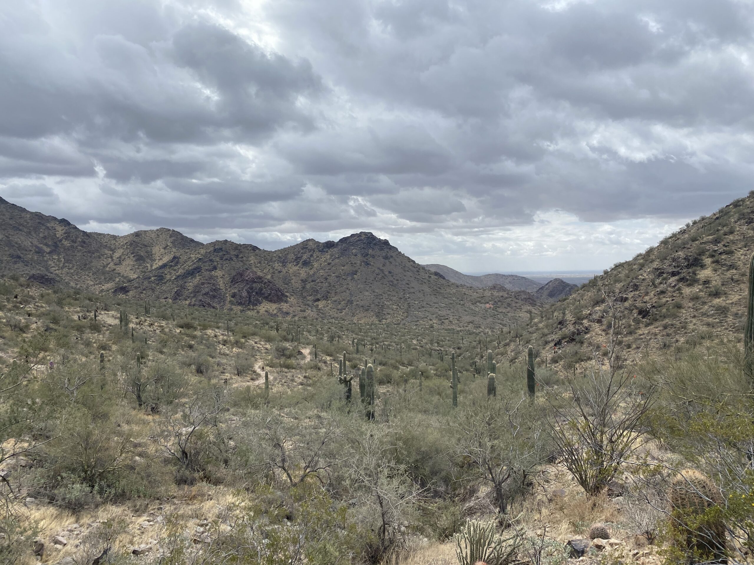
12 Best Hiking Trails in Scottsdale
So what are the best hiking trails in Scottsdale? There are so many nearby parks and preserves, it can be hard to choose from. I’ve compiled a few of my favorite hikes in the Phoenix / Scottsdale area below
McDowell Sonoran Preserve – Multiple Trails (Dog Friendly)
The Scottsdale McDowell Sonoran Preserve is a large preserve northeast of Old Town Scottsdale. There are many great hiking trails in Scottsdale, but McDowell Sonoran Preserve has the most amount of choices!
The amenities here are also spectacular. I remember being blown away at the real restrooms at the trailhead of Tom’s Thumb.
The Preserve is open essentially from sunrise to sunset, which varies by day.
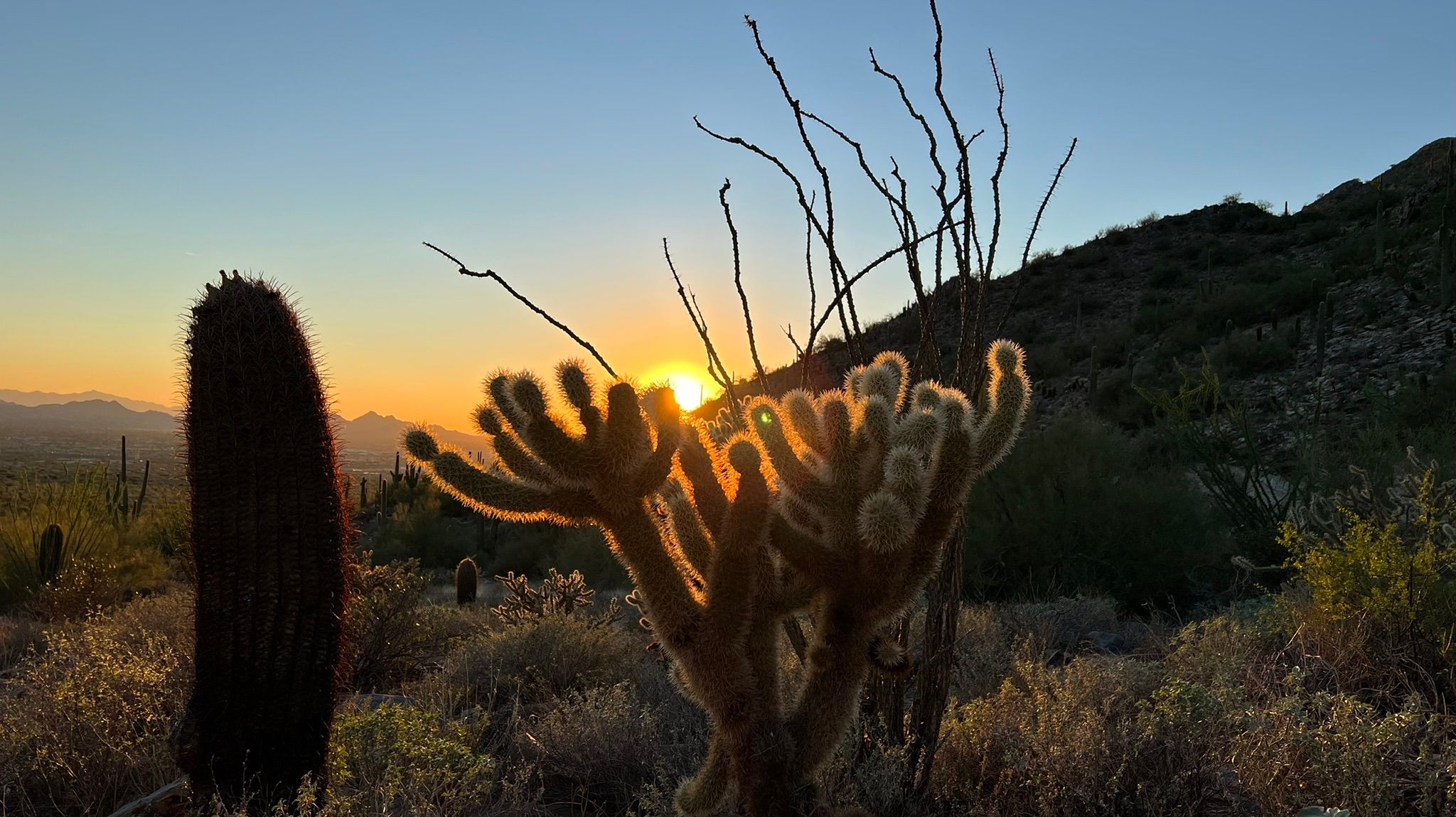
1. Gateway Loop Trail | 4.4 miles
What is the best hike in Scottsdale? If you had to do only one hike – I would go on The Gateway Loop. The Gateway Loop Trail is 4.4 miles with around 700 ft of elevation gain. This was one of the first dog-friendly hiking trails in Scottsdale that we explored. It’s a very scenic trail in Scottsdale.
It is a nice, gentle introduction to the park and the Scottsdale hiking areas. As with most hiking trails in Scottsdale, you will pass lots of cool cacti along a dirt path. The Gateway Trail takes around 2 hours to hike, making it perfect for a quick activity during the day.
2. Bajada Nature Trail | 0.5 miles
Bajada (“buh-hah-duh”) Nature Trail is also at the Gateway Trailhead. It is an accessible trail making it a good option for those looking for something very short.
The Bajada Accessible and Interpretive Trail is only 0.5 miles long with zero elevation gain. On the trail, you will be able to see cool cacti without having to go too far!
3. Taliesin Overlook | 4 miles
Taliesin Overlook leaves from Lost Dog Wash Trailhead. It is one of the longer hikes at 4 miles roundtrip and 350 ft in elevation gain. This is a very gentle out-and-back hiking trail in Scottsdale.
The overlook looks down at Frank Lloyd Wright’s Taliesin West, which was mentioned above!
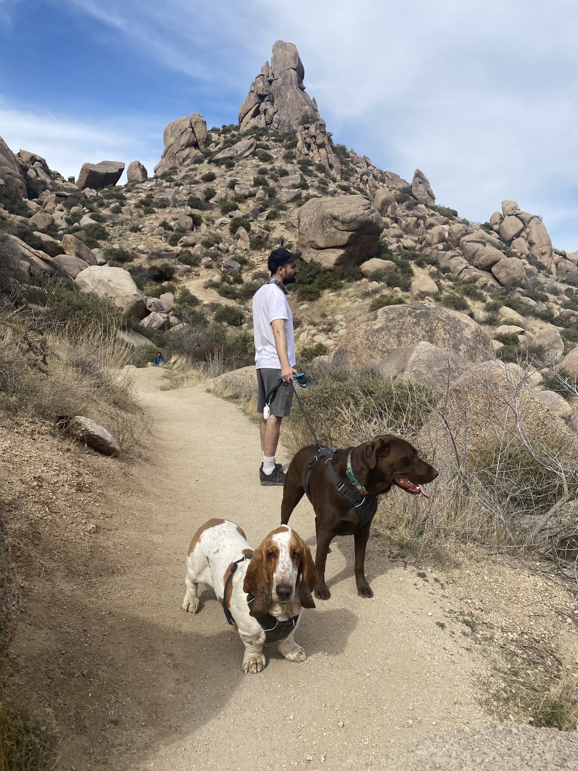
4. Tom’s Thumb Trail | 5.1 miles
Tom’s Thumb Trail is one of my favorite Scottsdale hiking trails because it is one of the few where you will have a cool sculptural ending point to the trail. A lot of Scottsdale trails may have nice overlooks or views, but very few have a cool rock formation like Tom’s Thumb. It’s one of the best hikes in Arizona!
How long does it take to hike Tom’s Thumb Trail? Around 3 hours.
The trail is fairly easy to follow in the beginning but gets rocky at the end. It can also be quite popular on weekends. The ending of this trial is not surprisingly, a rock that looks like a thumb!
The most popular way to get up Tom’s Thumb Trail is via the lookout viewpoint.
McDowell Mountain Regional Park (Dog-Friendly)
McDowell Mountain Regional Park is located next to the McDowell Sonoran Preserve at the western boundary of the McDowell Mountains. The park puts on plenty of events such as a Full Moon Hike.
There are over 40 miles of Scottsdale hiking trails here at the park, including multiple-use trails that you can go mountain biking or horseback riding on. This park is also dog-friendly so you can bring your pup along!
5. Scenic Trail | 3.5 miles
The Scenic Trail is a great hiking trail option at McDowell Mountain Region Park. At 3.5 miles, the Scenic Loop Trail makes for a gentle stroll to cacti and views without taking up too much of your day as it takes around 1.5 hours to complete.
This is one of the best hikes in Scottsdale because it’s not too far from Old Town Scottsdale, but it feels more secluded than a normal urban hike.
Note that there is a $7 fee to enter.
Phoenix Mountains Preserve (Sometimes Dog-Friendly)
The Phoenix Mountains Preserve is a large preserve area closest to Old Town Scottsdale, bordering Paradise Valley and close to some hotels like the Hilton and Waldorf Astoria. There are plenty of trails to choose from here
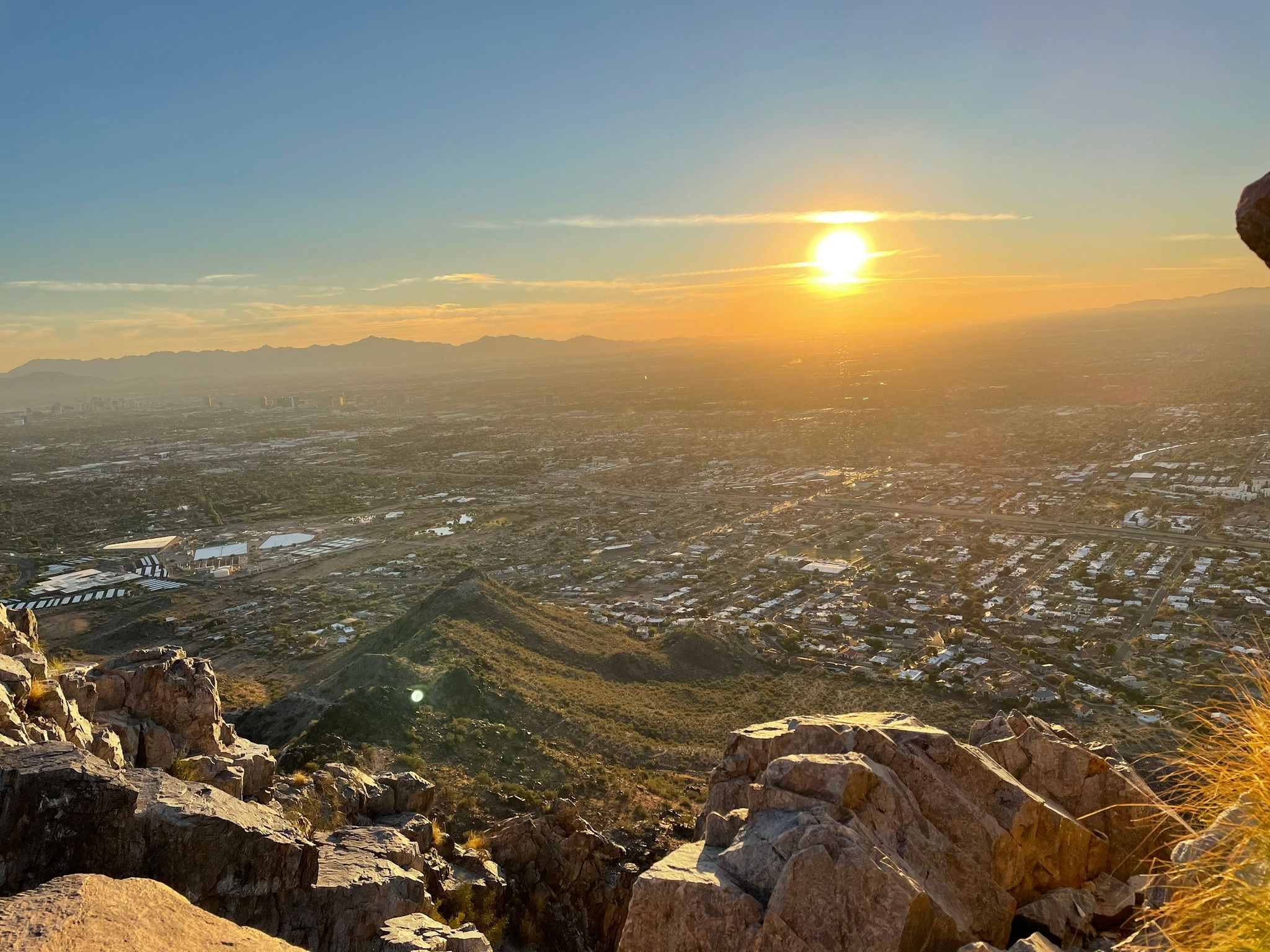
6. Piestewa Peak Summit Trail #300 | 2.1 miles
Piestewa Peak Summit Trail #300 is a short but very difficult hiking trail in Scottsdale that takes you up to a great view of the surrounding area. You will climb over 1,000 feet elevation in 2.1 miles and be rewarded with incredible views.
The peak is named after Lori Ann Piestewa, the first Native American woman to die in combat in the U.S. military.
Because Piestewa Peak Summit Trail is an out-and-back hiking trail, you will need to turn around to return to the trailhead.
This trail is unfortunately not dog friendly.
7. Quartz Ridge Trailhead (#8A) | 3.2 miles
Another hike at the Phoenix Mountains Preserve that is dog friendly is Quartz Ridge Trailhead (#8A). This is a slightly longer hike at 3.2 miles but climbs less elevation at 600 ft. It will be less of a climb up and more enjoyable since the elevation stretches for longer mileage.
This hiking trail in Scottsdale is luckily dog-friendly, so you can take your pup along for the hike.
This trail gets very busy on the weekends, especially in the winter months. So if you come, make sure you get here a bit earlier to find parking at the trailhead!
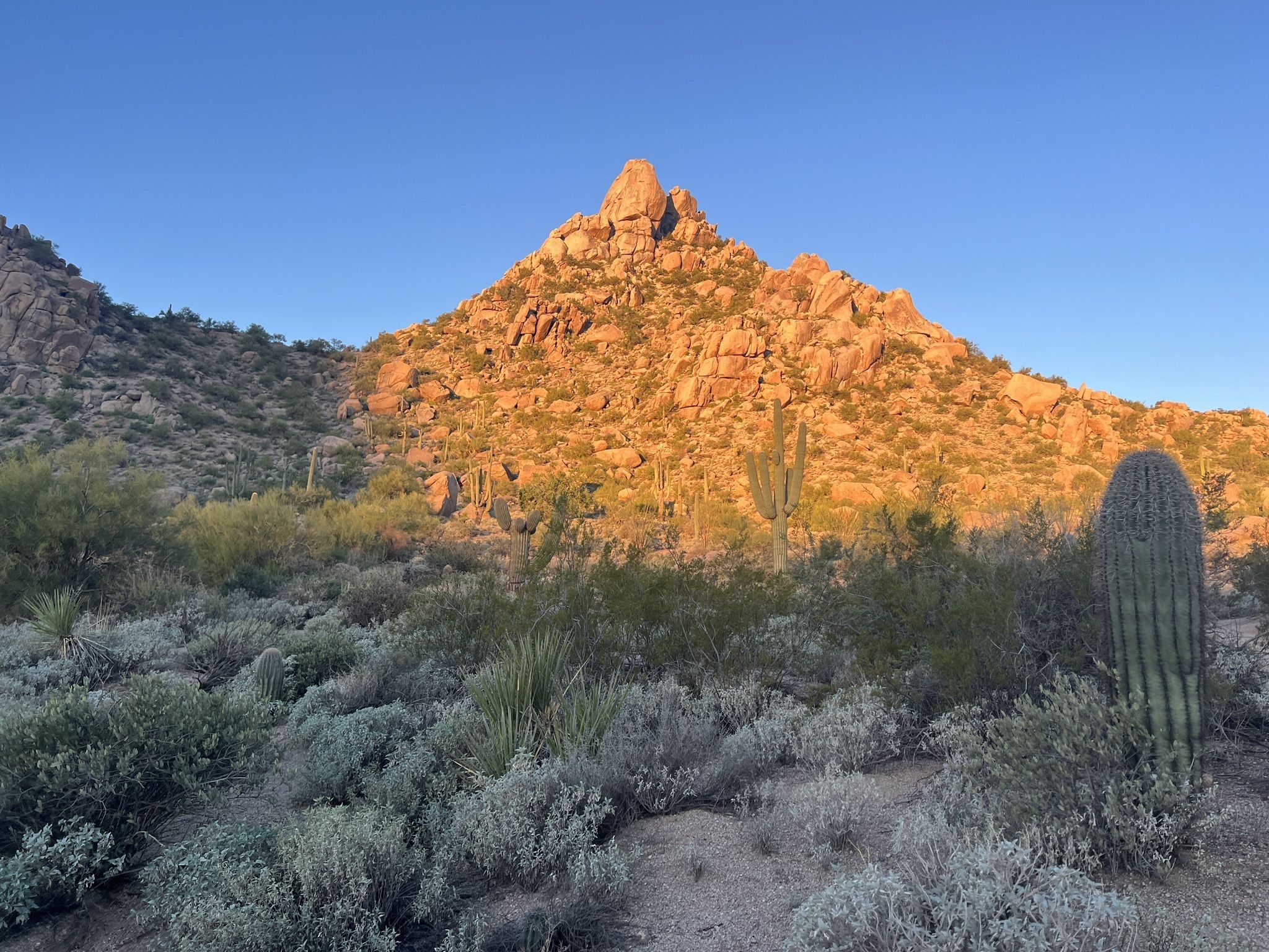
8. Pinnacle Peak Park | 4 miles
Pinnacle Peak Park is a small park and trail near North Scottsdale at only 150 acres. Pinnacle Peak trail is 4 miles total and takes you up 1,000 ft to a great lookout of the surrounding area.
Even though this is a small park, there and restrooms and water fountains at the trailhead – I just love how good the Phoenix and Scottsdale hiking and nature preserve facilities are!
Is the Pinnacle Peak trail hard? It’s not as hard as some other hikes because you go up and down with elevation the entire way (vs just up, and then back down). It’s a cool feature of this trail and will give you some breaks during your ascent and descent!
Unfortunately, no dogs are allowed on this trail.
Phoenix Sonoran Preserve
The Phoenix Sonoran Preserve is in North Phoenix and has 3 main trailheads, Desert Vista, Desert Hills, and Apache Wash with 9,600 acres of hiking.
9. Dixie Mountain Loop Trail | 4.6 miles
The most popular hiking trail here is the Dixie Mountain Loop Trail, which leaves from the Desert Vista trailhead.
This hiking trail in Scottsdale is dog friendly so you can bring your pup along!
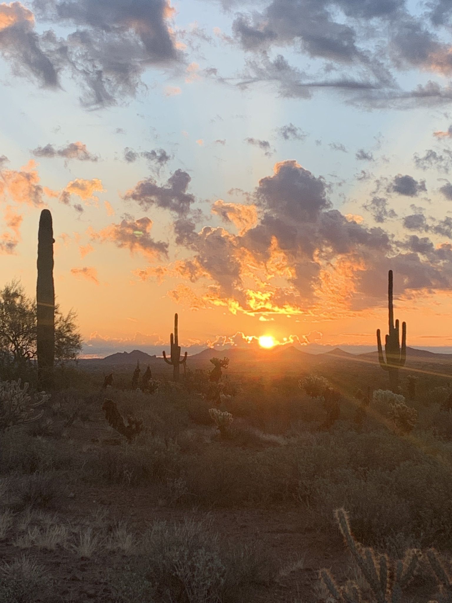
10. Apache Wash Loop Trail | 2.8 miles
On the north side, you have Apache Wash Loop Trail which is a great beginner loop for young kids and older hikers. Although it is a bit rocky, the loop is gentle and barely has any elevation gain.
There are cool cacti to look at, and you may even run into some mountain bikers.
This is a great hiking trail option for sunsets!
11. Go John Trail | 5.9 miles
Just north of the Phoenix Sonoran Preserve is Cave Creek Regional Park, home to the popular Go John Trail. This 5.9 mile loop is a bit more remote than the other hikes because it is further out from Scottsdale and downtown Phoenix.
This loop is well-marked and good for a moderate to difficult hike. It will definitely be a great workout!
Similar to other hiking trails in Scottsdale, this one is dog-friendly too!
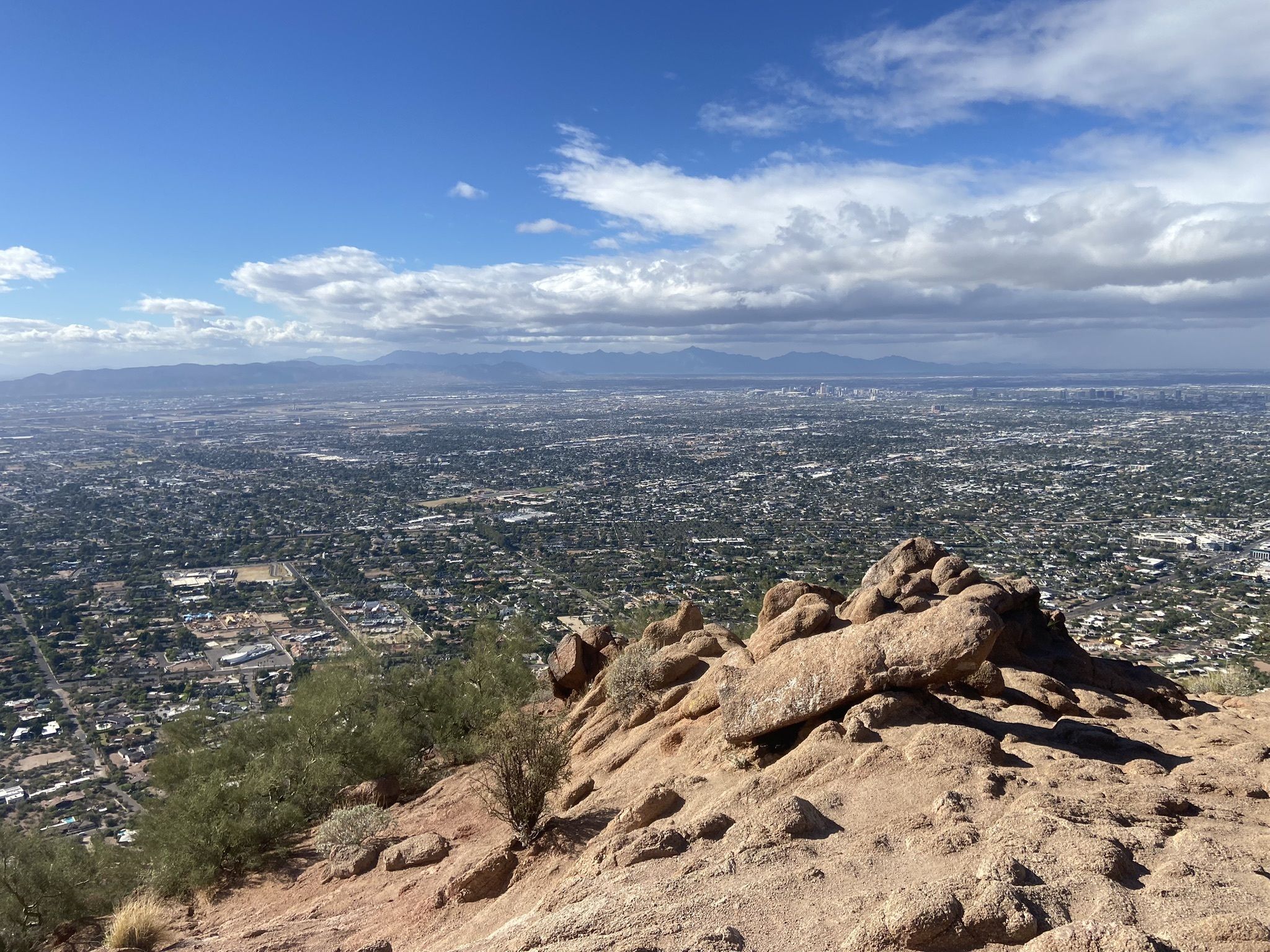
Camelback Mountain
12. Echo Canyon Trail to Camelback Mountain | 2.5 miles
Finally, you have the famous Camelback Mountain in Scottsdale, right north of The Phoenecian.
Echo Canyon Trail to Camelback Mountain is an extremely popular hike with tourists and visitors. The views of Camelback Mountain are spectacular, but I do not always recommend this hike because it is a pretty difficult scramble (up some ladders!) to get up there.
I’ve seen many tourists get trapped here and have an awful time because they are not prepared for the ladders, are scared of heights, and/or are wearing bad shoes with no traction.
No dogs are allowed on Camelback Mountain.
Tips for Hiking in Scottsdale
Watch the Weather
Check the temperatures before you head out. If it is already a really hot day, you might want to skip hiking altogether. This is especially true in the summer months like July and August.
At most hiking trails in Scottsdale, you will see extreme heat warning signs. There are unfortunately sad stories of overheated hikers every hiking season.
Start Early, Finish Early in the Summer
When the weather gets hot in the 90s and 100s, you will want to start your hikes in Scottsdale early and finish early. The ground and heat can get brutal for humans (adults and kids) and dogs.
Pack enough water
With the heat, make sure you pack enough water. I usually double what I drink on a normal hike in the heat. I’d rather carry more water and not need it, than be dehydrated and at risk on the hiking trails in Arizona and the Phoenix area!
Know how to handle rattlesnakes!
One of the unique things about hiking in Scottsdale is that you will likely run into snakes. If you run into a rattlesnake, you will want to know how to approach it so you don’t get bitten by a rattlesnake.
When you see the snake, make sure you distance yourself from it and do not engage with it. You will want to notify the park ranger of the snake.
What to Pack
When hiking Scottsdale, you will want to make sure you are packing the proper gear. The hikes in Scottsdale are mild in temperature in the winter but can be scorching hot in the summer. In fact, you will see heat warning signs at most of the hiking trailheads in both Scottsdale and Phoenix.
Most of the hikes in Scottsdale are also rocky, so it is better to have sturdier shoes than normal walking sneakers.
Hiking Boots / Shoes
Here are some of my favorite hiking boots. I personally have Hoka’s because I don’t need as much sturdy ankle support, but the right hiking shoe will depend on your individual needs. Most of the hiking trails in Scottsdale will be doable with sturdier sneakers or hiking boots.
Sun Protection
Sun protection is a must in Scottsdale. The sun can get very hot, very early. Here are some items I use for sun protection every time I am out hiking.
Water Storage
My general rule of thumb is 1L of water per hour while on the hiking trails in Scottsdale. Here are some of my favorite water storage containers – I especially love the Drom Bags. In the summer when it is above 80 degrees F, I will sometimes go up to 1.5L of water per hour.
Summer Hiking Clothing
Summer hiking clothing will keep you cooler than your normal workout gear. This is crucial for hiking trails in Scottsdale- especially in the summer. You definitely want to stay away from cotton and look for clothing that is breathable and sweat-wicking. For more details on why that is, check my post on Essential Hiking Clothes!
Summary
Hiking in Scottsdale is one of my favorite activities when I am there. There are so many Scottsdale/Phoenix hiking trails to choose from, it can be hard to know which ones to go on!
Let me know which hiking trails you like in the comments!



7 Comments
Love that you include some dog-friendly trails as well – as a new dog owner, it’s a whole new world trying to find hikes that we can enjoy with our pet! Beautiful scenery too.
Wow those views are gorgeous! I’ve never been to AZ but I’m thinking I need to plan a trip! I’d love to try Tom’s Thumb I know you said it’s a bit rocky at the end would it be ok for someone with bad (ish) knees? Can only really handle easy hikes! Thanks!
Wow those views are gorgeous! I’ve never been to AZ but I’m thinking I need to plan a trip! I’d love to try Tom’s Thumb I know you said it’s a bit rocky at the end would it be ok for someone with bad (ish) knees? Can only really handle easy hikes! Thanks! ❤️
Arizona is on my travel bucket list mainly because of the hiking opportunities. Thank you for sharing!
This was such a great and informative post! The thought of rattlesnakes scares me lol but being prepared in advance is key! Beautiful photos too!
I have to ask if the distances are accurate? I once found out the hard way that the distance listed on an app, such as All trails is not always accurate and may be a lot longer than anticipated, lol.