Distance from Boston: 20 minutes
Characteristics: Off-leash, very easy navigation, avoid the crowds
Size: 640 acres
Recommended Parking: Forest Street Lot here or Wakefield Lot here

Breakheart Reservation is a 20 minute drive from Boston up Route 1. I had gone to NYC and Vermont the past two weeks, so for New Years break this year, I decided to spend my 4 day weekend locally. There are many pros to Breakheart: proximity, beauty, off-leash dog area, free Mutt Mitts, beach, two lakes. There are two downsides: 1) there is a giant paved road running through the park, and 2) the online map does not accurately reflect the trail signs and blazes. This guide was created to better help you hike around Breakheart Reservation via hiking trails, and not a paved road. For more info about the off-leash dog area, visit their website here.
Loop Trail: Saugus River Trail to Ridge Trail
Trail Distance: 5.59 miles
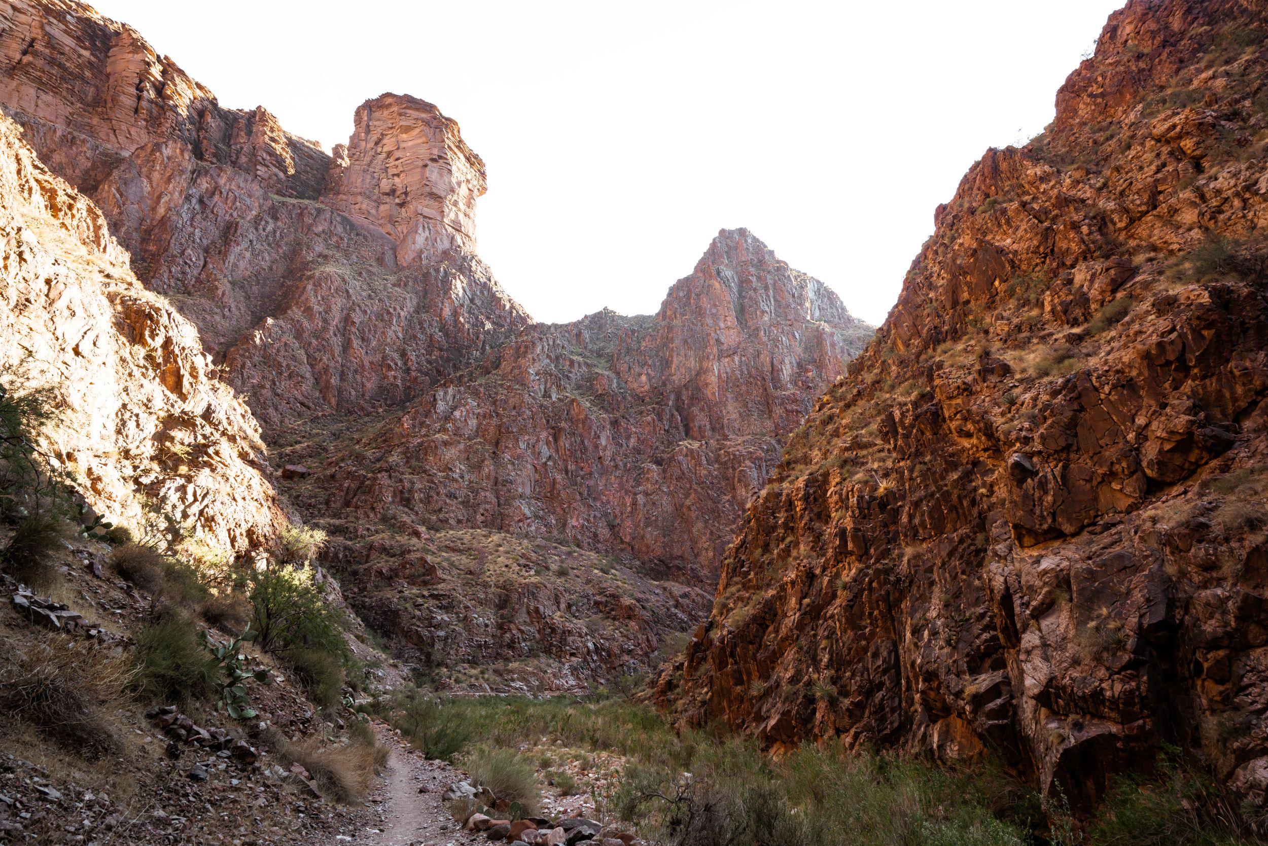
Terrain Rating: Easy/Rocky
Time In: 9:21AM
Time Out: 11:55AM
Trailhead: From Boston, take 93-N up to Route 1 Northbound. Take the Lynn Fells Parkway exit that loops around, and make a right on Forest Street. This road takes you to the visitor center and to 1 of the 2 parking areas. The trailhead that will become a loop trail is called the Saugus River Trail.
Follow the Saugus River Trail for about 2 miles tracing the eastern border of the reservation. Be sure to follow the yellow blazes. The trail has a few tangents with the Mill Trail and Fox Run Trail (marked by blue blazes), which you can take for a quick stop. The Mill Trail goes to an abandoned mill site. The only remnants is a small a stone wall. The Saugus River Trail will take you past the Cedar Glen Golf Course and a picnic area. The trail then completely opens up and follows some boulders and rocks. After about 2 miles, you will reach the second parking lot at a vocational high school. At this point, the yellow blazes abruptly end and the Saugus River Trail is seemingly finished. Unlike what the online map suggests, the Saugus River Trail (yellow blazes) will take you all around one side of the reservation.
From the parking lot, you want to walk on the paved road for a few hundred feet and then go on the Ridge Trail marked by red blazes. Aptly named, the Ridge Trail is rocky and staggered, although nothing compared to the White Mountains. The trail traces along the western border of the reservation and follows the paved road if you want a break from the rocks. There are some beautiful, windy views of Boston up on the rocks. Be sure to take a break and check them out!
The Ridge Trail will loop you back to the Forest Street parking lot after a little more than 3 miles. We passed a ton of dogs on this hike, mostly leashed. And many more runners on the paved roads. All in all it was a great hike, once we got our bearings!
More Photos:

Map of the Saugus River Trail to Ridge Trail Loop. 

Contraption put up by the DCR to prevent beavers from damming the river. 

On the Mill Trail 
Sign for the Saugus River Trail right by the Visitor