Female Outdoor Statistics (Infographic)
How many women spend time outdoors? Is car spotting safe for women?
Click to expand.
Female Outdoor Statistics (Infographic)
How many women spend time outdoors? Is car spotting safe for women?
Click to expand.
Trail Distance: 4.4 miles (book), 6.7 miles (MapMyHike)
Elevation Gain: 1,800 ft (book), 1,663 ft (MapMyHike)
Terrain Rating: Intermediate
Time In: 9:31AM
Time Out: 1PM
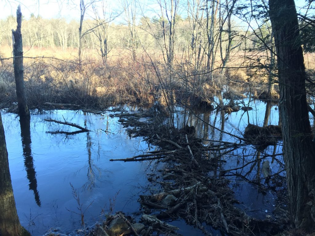
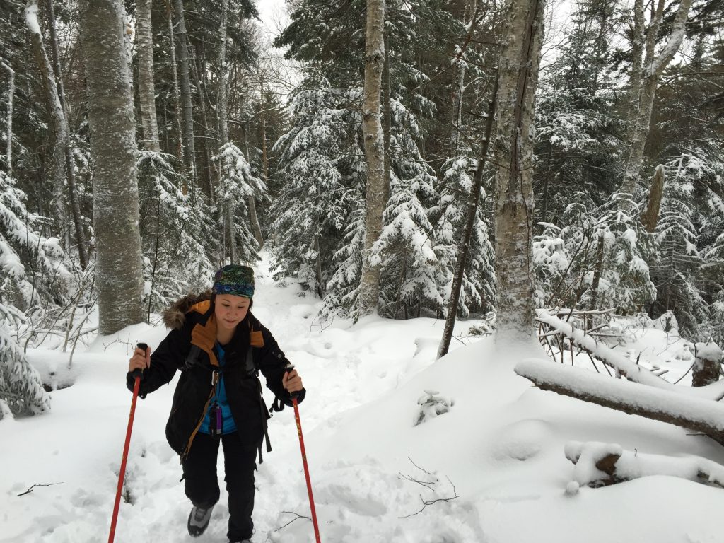
Conditions: Very icy, drifted snow
Trailhead: The trailhead is at the end of the Welch-Dickey Parking Lot. From 93-N, take Exit 28 and head towards Waterville Valley on Route 49 East. Take a left onto Upper Mad River Road and then a right onto Orris Road. Parking fee is $3.
I am super excited to announce that I have just launched my free trip planning service.
Distance from Boston: 20 minutes
Characteristics: Off-leash, very easy navigation, avoid the crowds
Size: 640 acres
Trail Distance: 3.1 miles
Elevation Gain: 600 ft
Terrain Rating: Easy/Moderate
Time In: 10:31AM
Time Out: 12:28PM
Conditions: Slightly muddy, melted snow
Trailhead: The trail sits behind the Inn at Long Trail on Route 4 near Killington, VT. You can park to the right of the parking lot. Be sure to lock your belongings in the trunk as cars have been broken into as of September 2014.
Trail Distance: 4.6 miles
Elevation Gain: ~900 ft
Terrain Rating: Easy
Time In: 10:30AM
Time Out: 1:15PM
Conditions: Slightly muddy, melted snow
Trailhead: Near Manchester, Vermont. From the intersection of US 7 and VT 11/30, drive on 11/30 E to East Manchester Road. Turn right and go down for 1.1 miles until Glen Road. Take a left at Glen Road and follow it down until you see the Dead End sign, which will lead you to the parking area.
Trail Distance: 5.8 miles
Elevation Gain: 2400'
Terrain Rating: Easy
Hike In: 9:15AM
Hike Out: 2:23PM
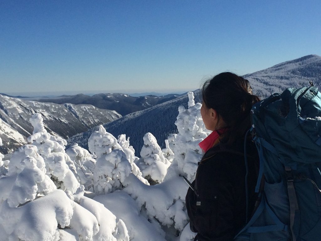
Snow Conditions: Packed powder, dry snow
Winter Gear: Microspikes recommended; barebooting ok
Trailhead: Behind the train tracks at the AMC Highland Center off Route 302. Look through the trees for a trail sign. You can park at the AMC Highland Center and then walk to the train tracks.
Trail Distance: 6.4 miles
Elevation Gain: 2350'
Terrain Rating: Average
Hike In: 9:34AM
Hike Out: 2:43PM
Snow Conditions: Packed powder, light rain/snow
Winter Gear: Some with snowshoes, others with just boots.
Mount Pierce is a great winter hiking option for beginner winter hikers. The trail is very straight forward and the terrain is usually easy/average because of frequent use. The hike is a gradual 3.2 miles up and it reaches a not so obvious summit at Mt Pierce. From there, you can either continue onto Eisenhower, Washington, or turn back around.
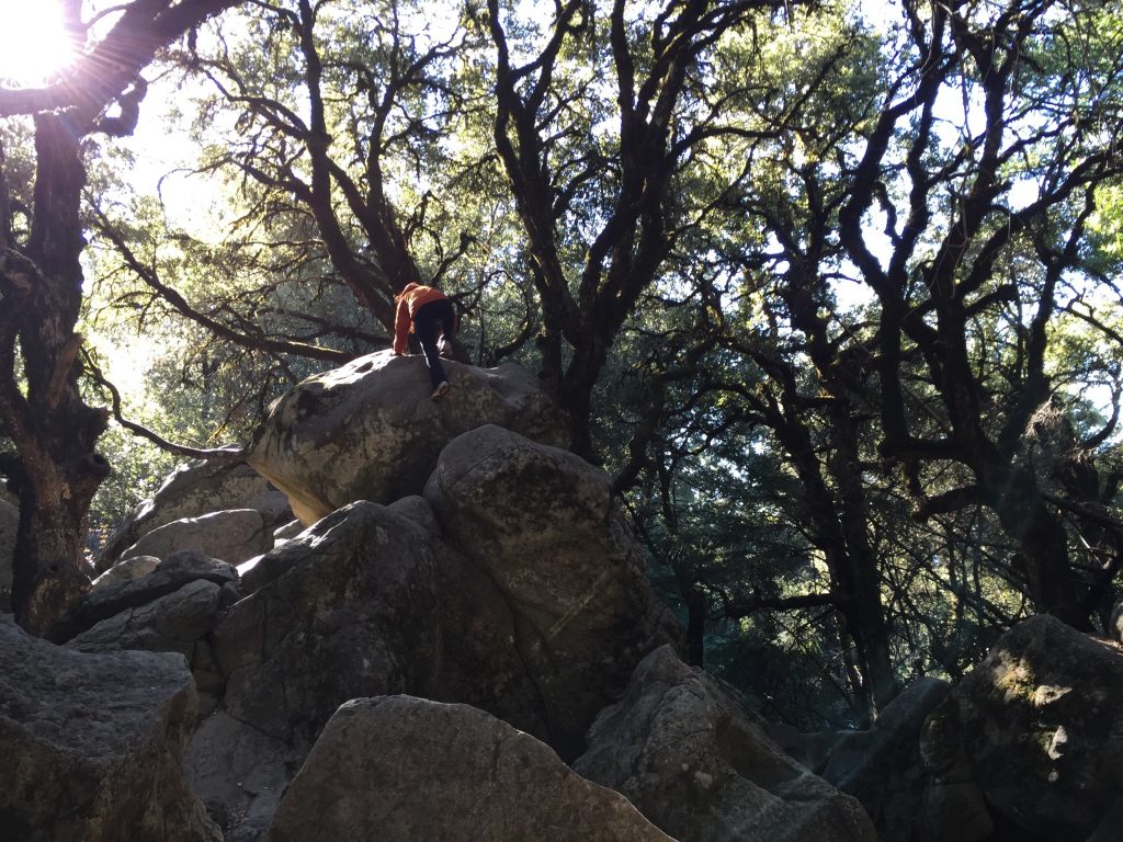
Castle Rock is a beautiful park right off the junction of Highway 9 and Highway 35 in Northern California. It is located right at the crest of the majestic Santa Cruz Mountains. There are around 35 miles of trail covered with redwood, Douglas-fir, and interesting rocks. What makes Castle Rock so great is its accessibility, ease of hiking, and rock climbing. The main park entrance is right off 35. You can't miss it on a weekend because there will be a line of cars parked on the road. Try to get here before 10AM if you want a parking spot.
Trip distance: ~3 miles
Terrain Rating: Very Easy
Hike In: 9AM
Hike Out: 11AM