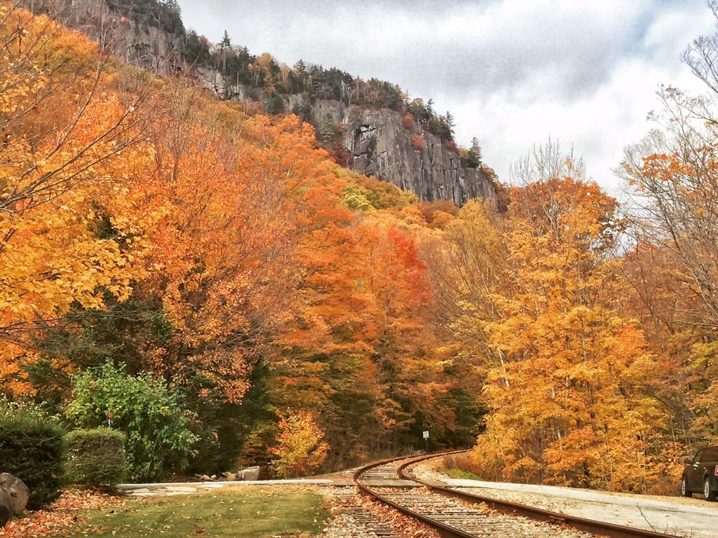
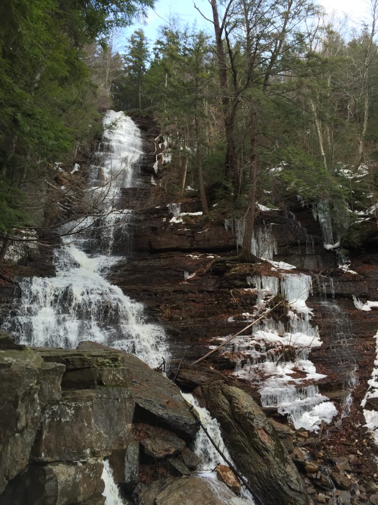
Arethusa Falls is a beautiful 2.6 mile round trip hike in the fall. The first parts of the trail had nice fall foliage, and then it led up to the famous falls. There's some debate as to the highest waterfall in New England. I don't think Arethusa Falls is it, but it's beautiful nonetheless!
Trail Distance: 4.5 miles
Elevation Gain: 1370'
Terrain Rating: Moderate
Hike In: 8:45AM
Hike Out: 11:15AM
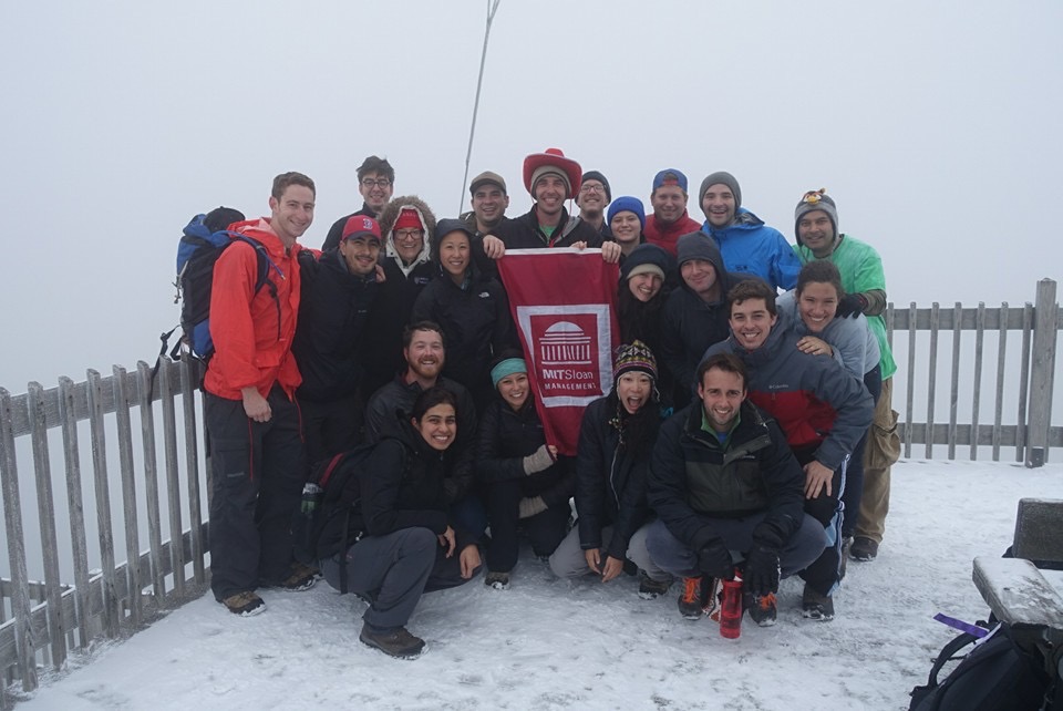
Trail Distance: 7.5 miles
Elevation Gain: 2450'
Terrain Rating: Moderate
Hike In: 9:56AM
Hike Out: 2:02PM
Trail Distance: 2.8 miles
Elevation Gain: ~800'
Terrain Rating: Moderate but steep
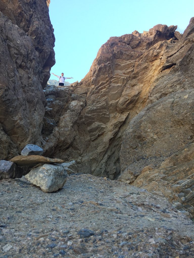
The Mosaic Canyons is a popular Death Valley hike through narrow canyons. There is some scrambling involved which makes for a fun hike. The ranger said we might be able to see some bighorn sheep, but we didn't see any. Regardless, this is a fun hike that you could seemingly explore for much longer than the advertised 2 miles one day. "Let's just see what's around the next corner."
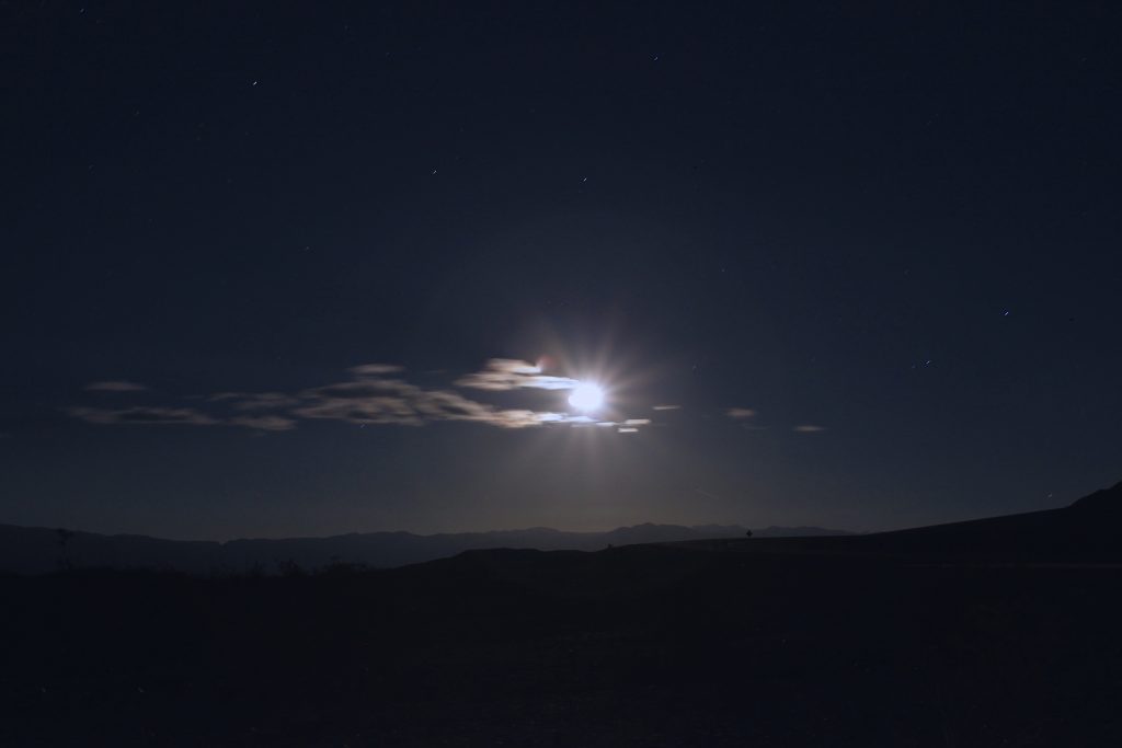
The Mesquite Flat Sand Dunes is another "must-see" in Death Valley. The highest dune sits at about 100 feet, and the entire area covers an area wide enough to explore for a few hours. My only other encounter with sand dunes was in Inner Mongolia, so I was really excited to go back. There's something uniquely enchanting about hiking barefoot at the end of a hot day. When we stopped at the Visitor Center, the Park Ranger mentioned that they always try to encourage visitors to do the moonrise hike up the sand dunes, but very few actually do it. (No idea why!!)
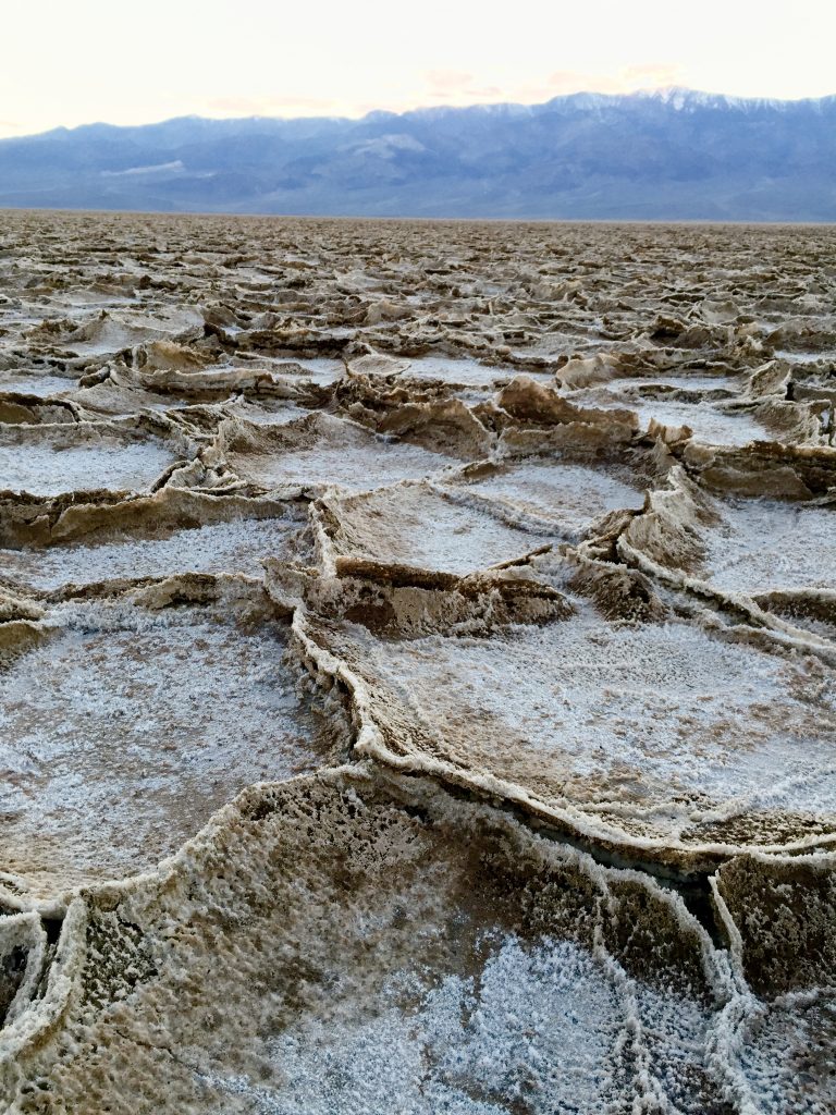
The Badwater Salt Flats are a must see for anyone making the trip out to Death Valley. It's a short, easy walk that is suitable for not so active and hyper adventurers alike. The salt flats cover around 200 square miles and are one of the largest protected salt flats in the world. It is also the lowest point in the western hemisphere with an elevation of 282 ft below sea level.
Trail Distance: 3.1 miles
Elevation Gain: 600 ft
Terrain Rating: Easy/Moderate
Time In: 10:31AM
Time Out: 12:28PM
Conditions: Slightly muddy, melted snow
Trailhead: The trail sits behind the Inn at Long Trail on Route 4 near Killington, VT. You can park to the right of the parking lot. Be sure to lock your belongings in the trunk as cars have been broken into as of September 2014.
Trail Distance: 4.6 miles
Elevation Gain: ~900 ft
Terrain Rating: Easy
Time In: 10:30AM
Time Out: 1:15PM
Conditions: Slightly muddy, melted snow
Trailhead: Near Manchester, Vermont. From the intersection of US 7 and VT 11/30, drive on 11/30 E to East Manchester Road. Turn right and go down for 1.1 miles until Glen Road. Take a left at Glen Road and follow it down until you see the Dead End sign, which will lead you to the parking area.
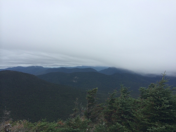
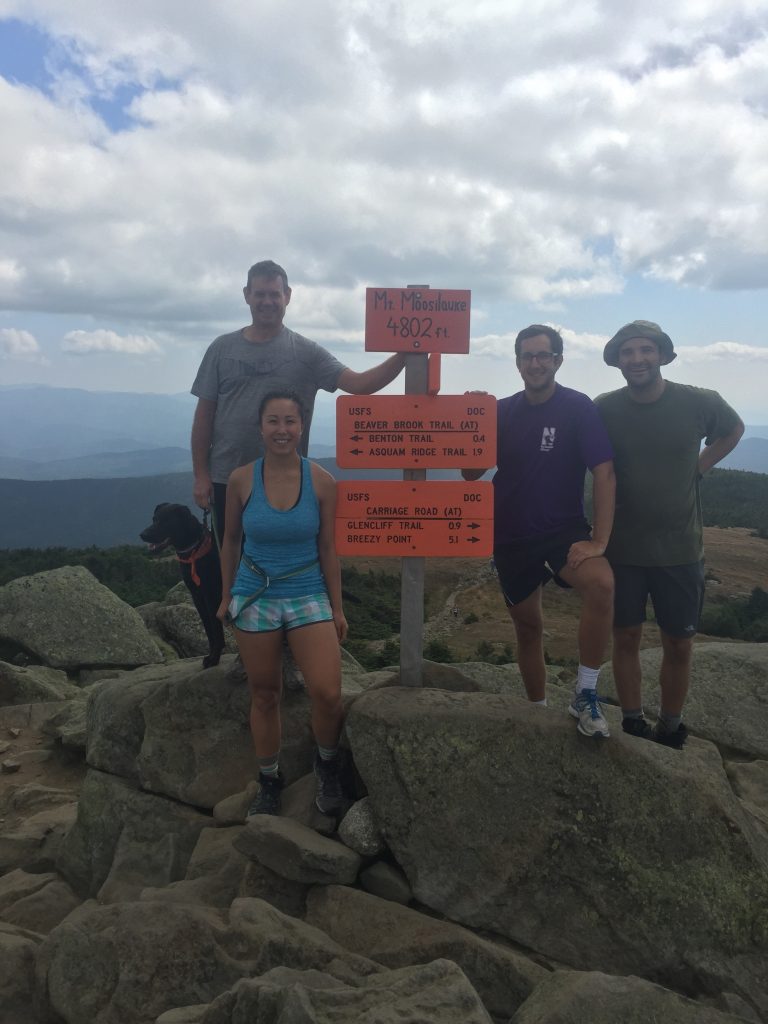
Trail Distance: 9.8 miles
Elevation Gain: 1247'
Terrain Rating: Average
Hike In: 8:12AM
Hike Out: 3:06PM
Trailhead: Hancock Overlook Parking Area on the Kancamagus Highway (Rt 112) in the White Mountains. The parking area is easy to find, as it's located on a hairpin turn. Parking is a $3 fee.